
• General
• General
Remote sensing, sometimes referred to as remote monitoring, is a term you have heard often. Many companies are taking advantage of technologies involving remote sensing, but is it really the best thing in asset monitoring?
The science of remote sensing is observing objects and phenomena from a distance, without physical contact. Remote sensing employs sensors mounted on devices and aircraft such as satellites, nanosatellites, drones, UAV, and airplanes. Images of desired areas are captured and recorded for monitoring purposes. Assets observed via remote sensing are often located in hazardous or hard to reach areas — locales where dispatching personnel is impractical or even dangerous.
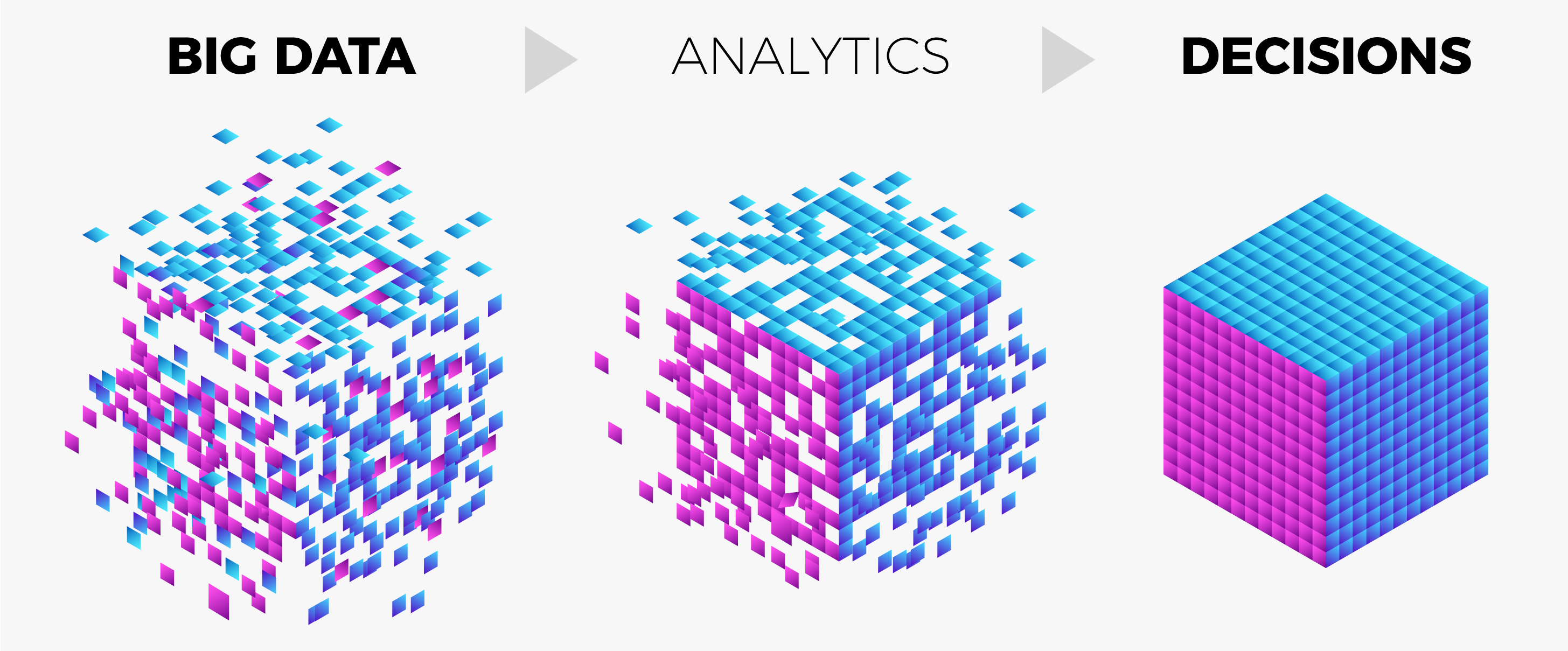
There are many ways remote sensing can be advantageous to numerous industries, but Satelytics takes things several large steps further with geospatial analytics — a true gamechanger for a growing number of industries.

Satelytics analyzes geospatial data to provide actionable alerts.
Geospatial analytics is remote sensing on steroids. With geospatial analytics, sensors affixed to satellites, fixed-wing aircraft, drones, stratospheric balloons, and other platforms are used to capture imagery and data. The imagery and data are then deeply analyzed by algorithms that are designed to search for and highlight unique qualities. The additional details and insights gained from this process can then be presented in a plethora of visuals — including various maps, charts, and graphs — providing a deeper understanding of the area of interest.
While remote sensing can qualitatively observe phenomena, such as oil spills and deforestation, geospatial analytics quantifies how much oil has leaked and identifies specific causes of deforestation so that you can quickly determine the best course of action. With Satelytics and the power of geospatial analytics, we can catch problems before they grow into disasters, saving potentially millions in remediation costs, protecting your infrastructure, and keeping your employees from having to investigate dangerous conditions.

For demonstrations of how Satelytics harnesses the power of geospatial analytics to solve problems like the above and more, explore our YouTube channel. Learn more about our services and how they can benefit your organization on our website. If you have specific questions about our technology or would like to request a demonstration, contact us.
We use cookies to analyze our web traffic and to enhance your experience. By continuing to view this website, you agree to our use of cookies.
Our Privacy Policy