• Water & Wastewater

• Water & Wastewater
My parents taught me to work hard growing up. This started with chores around the house and graduated to mowing and shoveling snow as I grew older. They taught me the value of a buck by compensating me well, $25 to mow the grass, for example.
When I was 12, we moved to a new neighborhood with much larger yards. I used our same old lawnmower to mow a couple of acres of grass. It would take me 4 hours or more to complete the task. Our neighbor, Mr. Gerloff, noticed my quality work and hired me to mow his 2-acre lot. He watched me push that lawnmower back and forth in 400-foot strips over his backyard.
One day Mr. Gerloff called me over to his garage and gave me a brand-new 42-inch cut riding lawnmower. Just like that, a 4-hour job became a 1-hour job and he introduced me to other neighbors as well. With one improved tool, the riding lawnmower, I was able to mow many neighbors’ yards and was regularly making $25/hour!
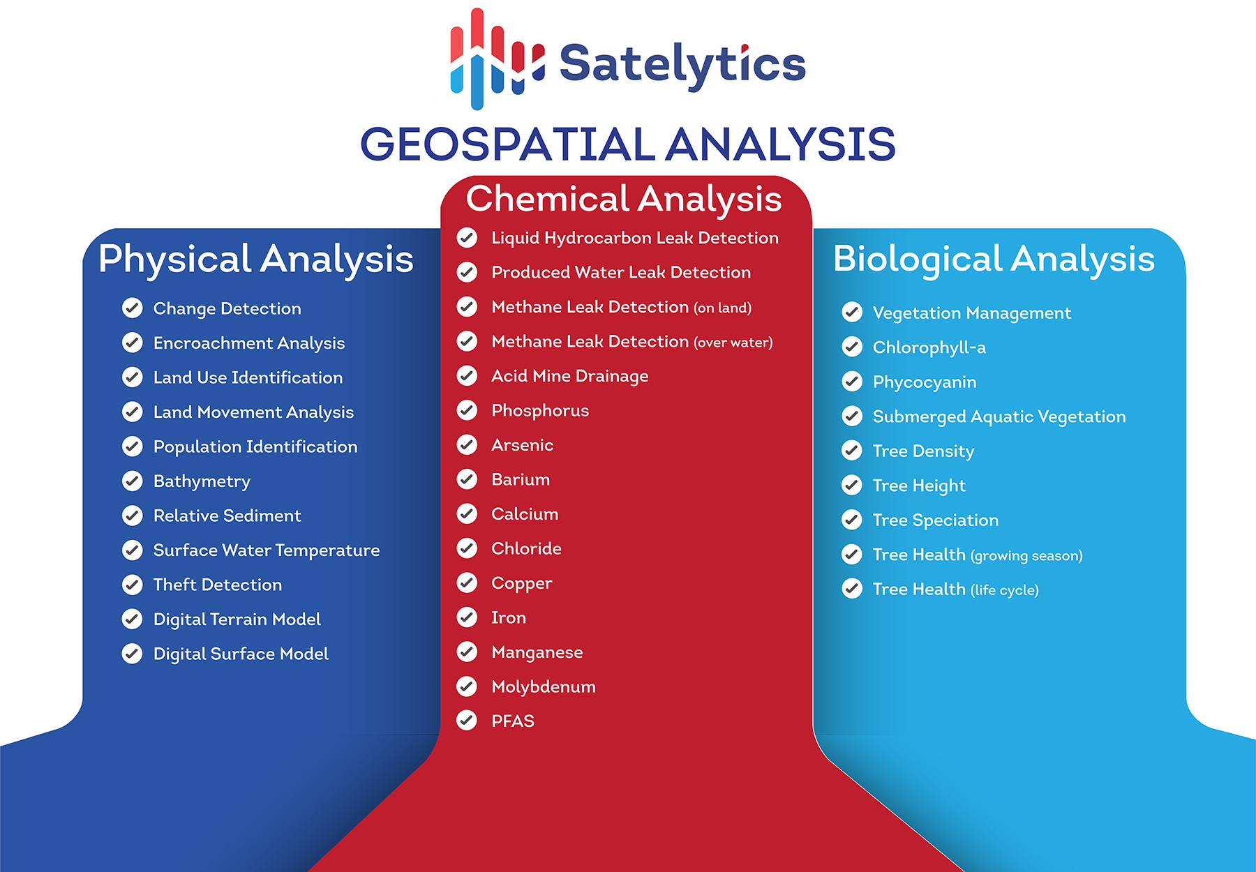
Where am I going with this? Satelytics algorithms offer a similar solution — one tool, with multiple benefits from one set of data.
For our customers in the water/wastewater industry, Satelytics offers detection and quantification of critical constituents, as well as physical detections down to the square foot over managed watershed areas.
Here is a list of users who stand to benefit from one tool and one set of data:

Just like me maximizing the benefit from Mr. Gerloff’s generous gift, Satelytics’ customers squeeze the most amount of value from each set of aerial data and accompanying analytics. All our measurements can be completed with the same set of data. With Satelytics, you have no seat licenses and unlimited users. We want you to use our tools!

Satelytics' growing suite of algorithms.