• General

• General
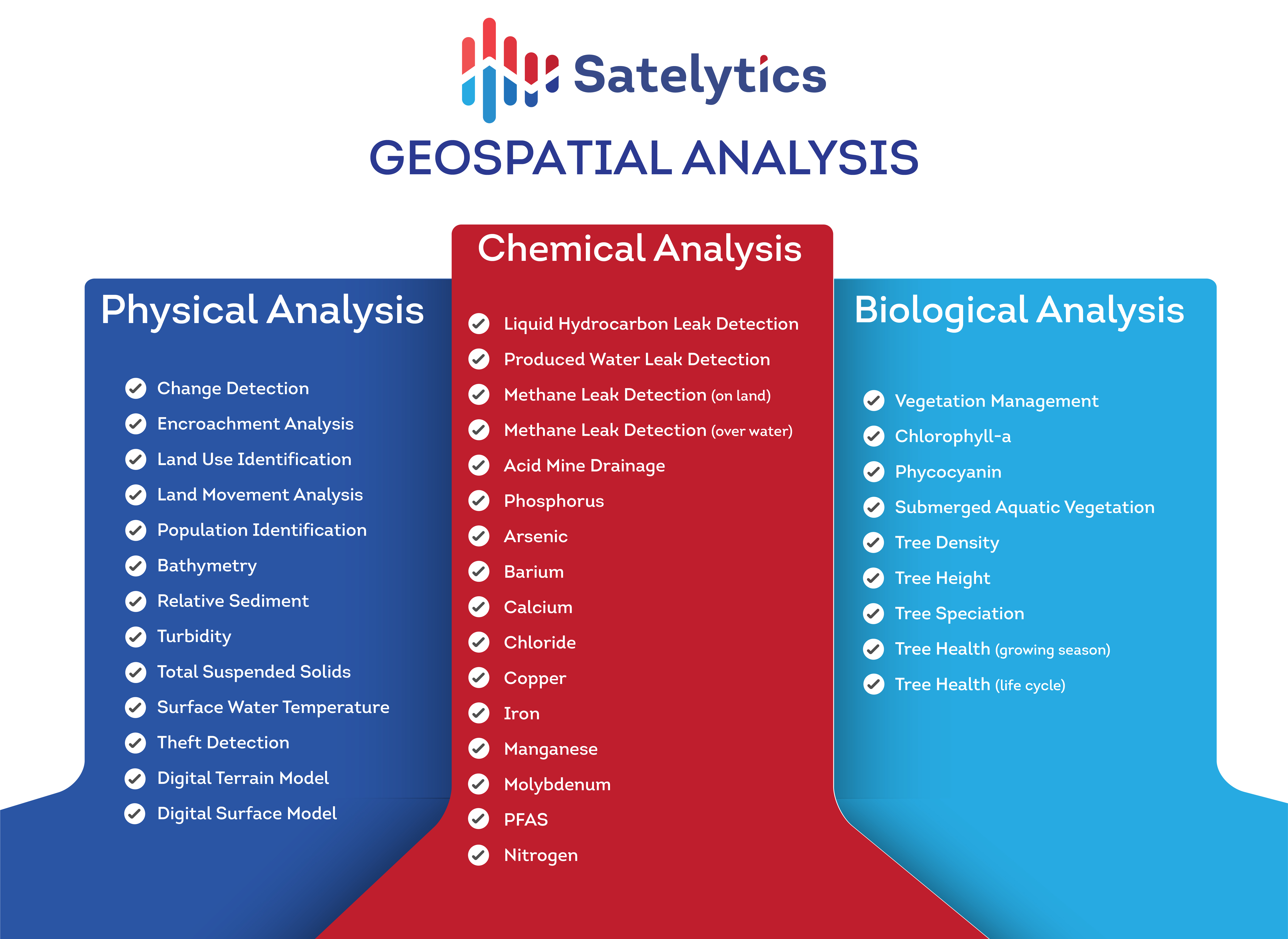
Numerous remote sensing options dot the landscape, platformed on drones, fixed-wing aircraft, helicopters, fixed sensors, satellites, and stratospheric balloons. Most major energy companies are exploring options to integrate remote sensing solutions into their digital innovation strategy. I’ve seen enough to know there are many pretenders out there. So, how can you sort the wheat from the chaff?
What is the difference between remote sensing and geospatial analytics?
What makes a geospatial analytics strategy impactful to your bottom line?
If you can answer these questions, you’re a company hero and will guide your company to not only spend its resources wisely but also stand out as a thought leader.
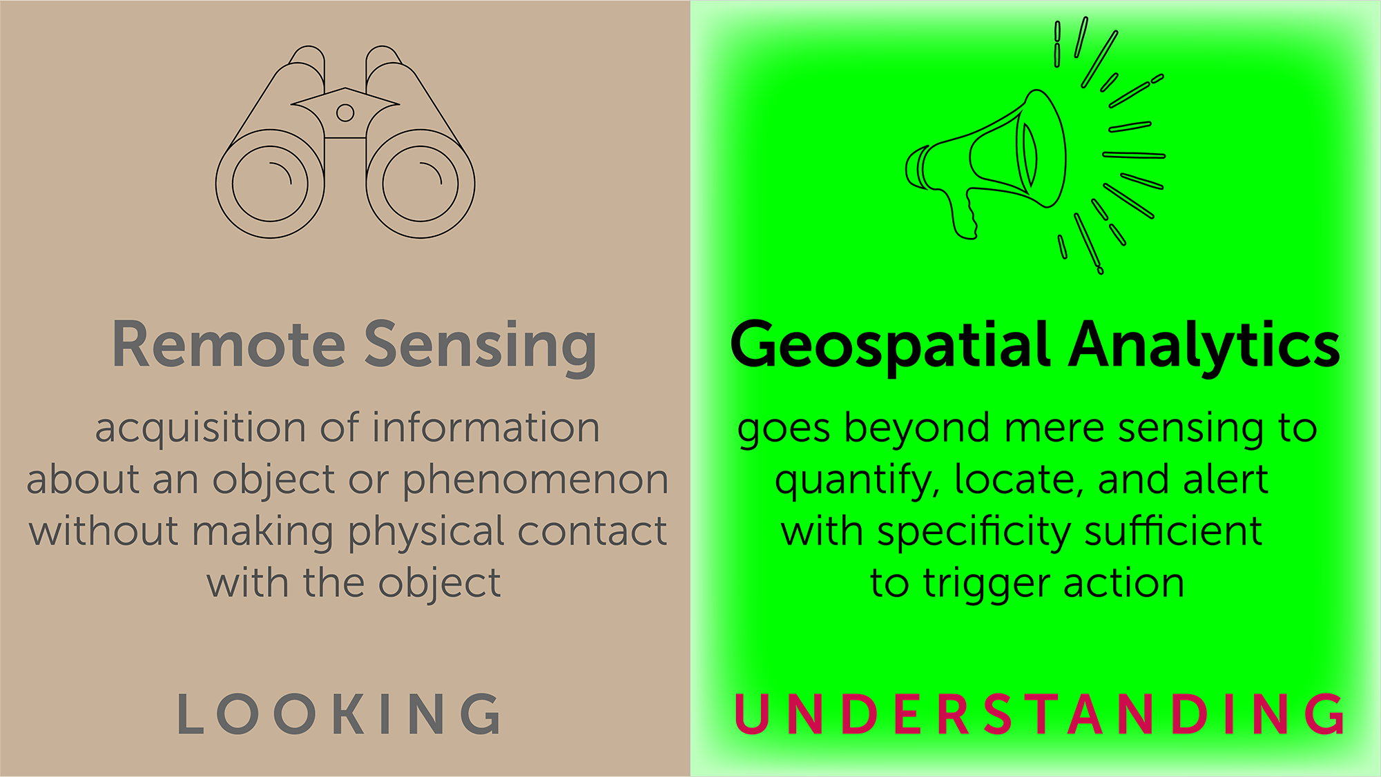
Key factors that make or break a geospatial analytics strategy:
Spatial Resolution.
High-resolution imagery supports analytics that provide specific location and quantification of your problem, rather than just non-specific warnings.
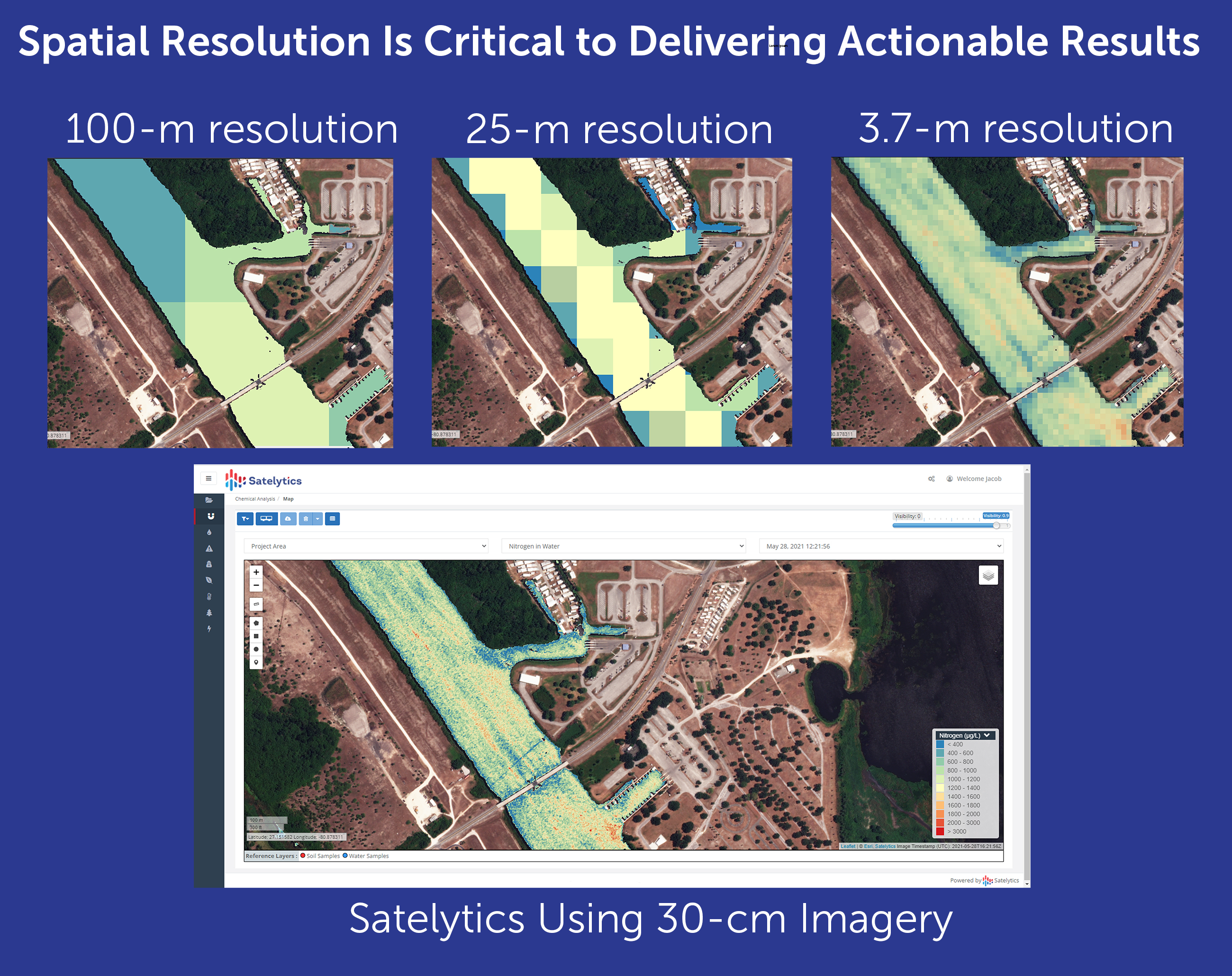
Satelytics employs only the highest resolution data available. For methane measurement, we use 3.7-m resolution data. For everything else, we use a variety of sources whose resolution ranges from 30-cm to 46-cm. That’s the size of a typical dinner plate!
Data Capture Frequency and Regularity. Frequent data captures enable frequent analyses, limiting your exposure by catching the problem in the earliest possible phase. An inverse relationship exists between time to capture an entire area of interest and the maximum possible capture frequency.
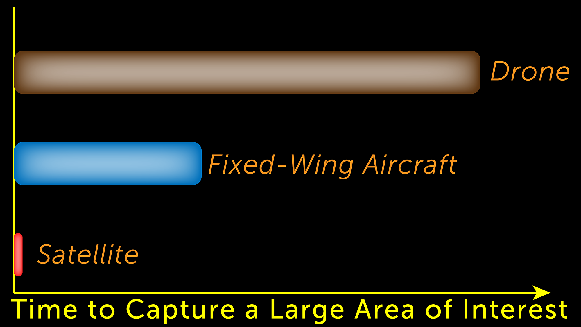
Satelytics is data agnostic, but practically speaking, 90%+ of the work we do is with satellite imagery. Satellites can revisit any area of interest 4 to 5 times per week. In the coming few years, experts predict that will be increased to multiple times PER DAY with more satellites put into orbit every month by a host of commercial providers.
Time to Produce Actionable Results. Once data capture happens, the data needs to be analyzed quickly to have any value. Considerations: data downlink from the platform, data ingestion by analytics, time to process the data, time to deliver actionable results to field responders.
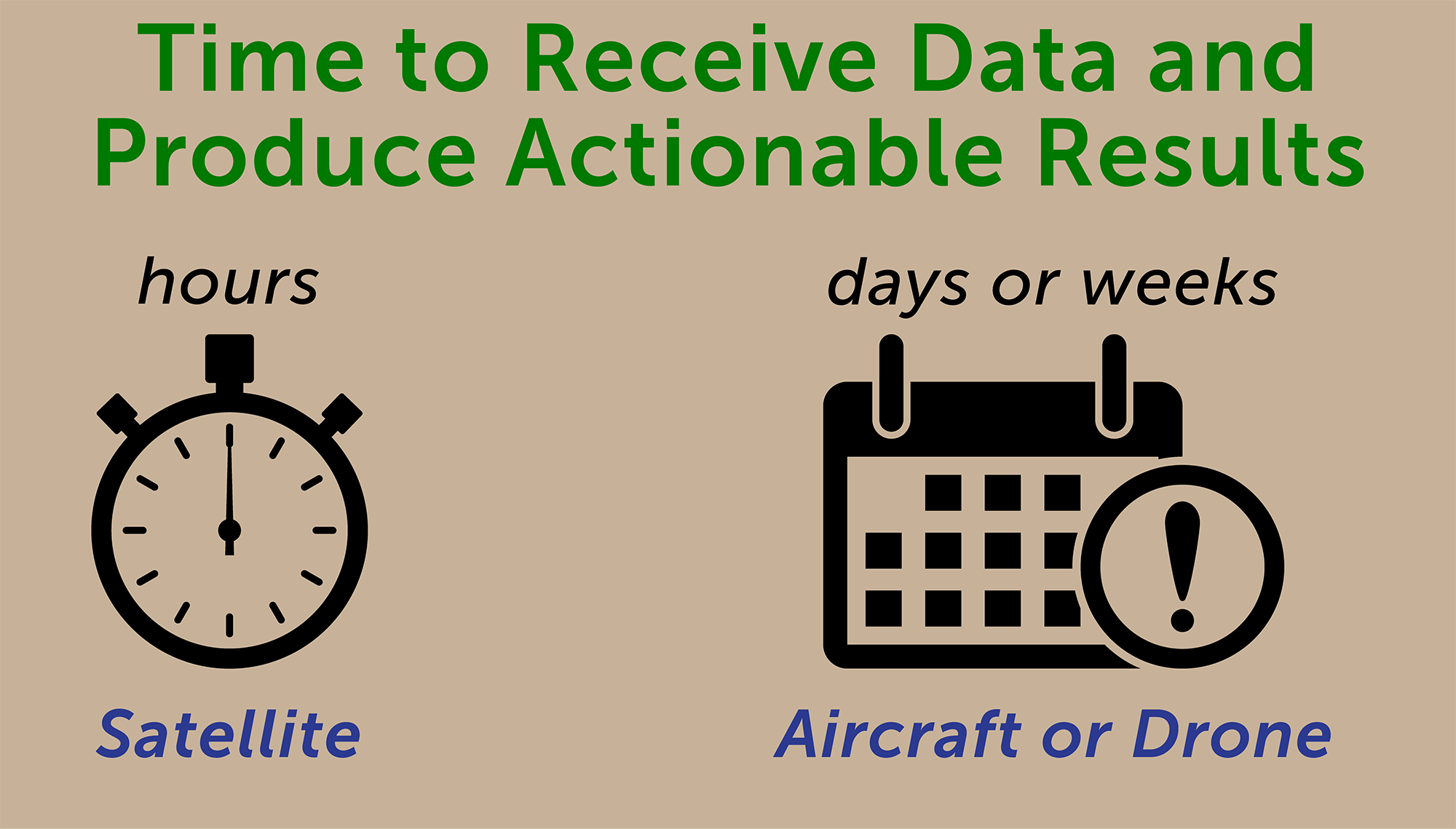
An extensive communications network for satellites facilitates rapid transfer to the cloud. Our algorithms operate on that data in the cloud where it resides, then produce actionable results and deliver those results to responders in the field within hours of data capture.
Solving Many Problems vs. Solving Only One Problem. A good geospatial analytics strategy solves many company problems simultaneously, rather than one department’s narrow problem.
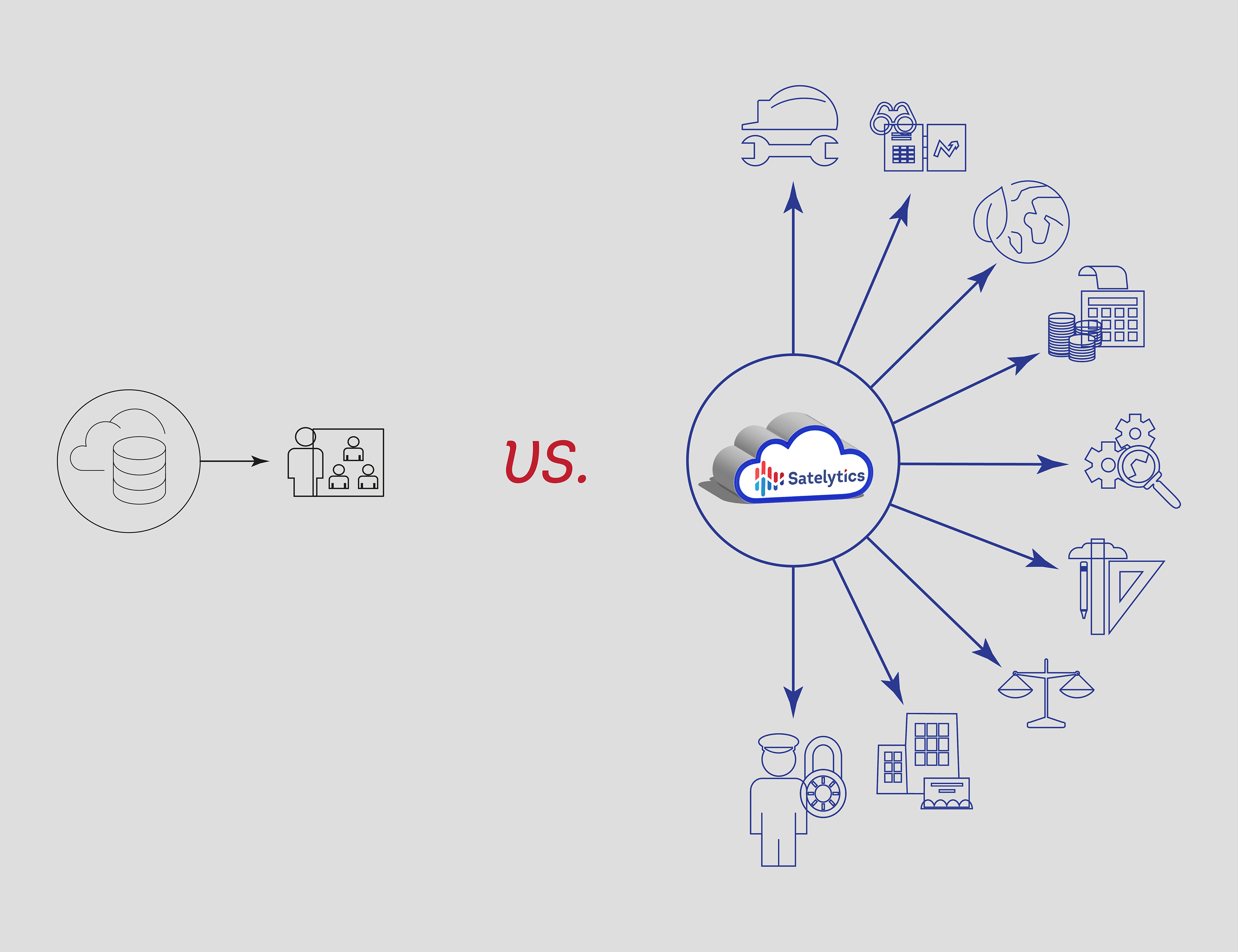
Satelytics’ business model is built on solving multiple problems from the same set of data. This helps your company spend once to solve multiple problems.
Before diving into geospatial analytics as part of your digital transformation strategy, be sure to understand how each solution will contribute positively to your bottom line. Everything else is wasted time, wasted money, and a continuation of your headaches.
