• Electric & Gas Utilities

• Electric & Gas Utilities
In the first and second installments of this series about utility vegetation management (UVM), we talked about vegetation conditions monitored by Satelytics, including tree height, proximity to the corridor and wire zone, health, and speciation. Today, we’ll discuss environmental variables analyzed to enhance the assessment of risk along the transmission corridor.
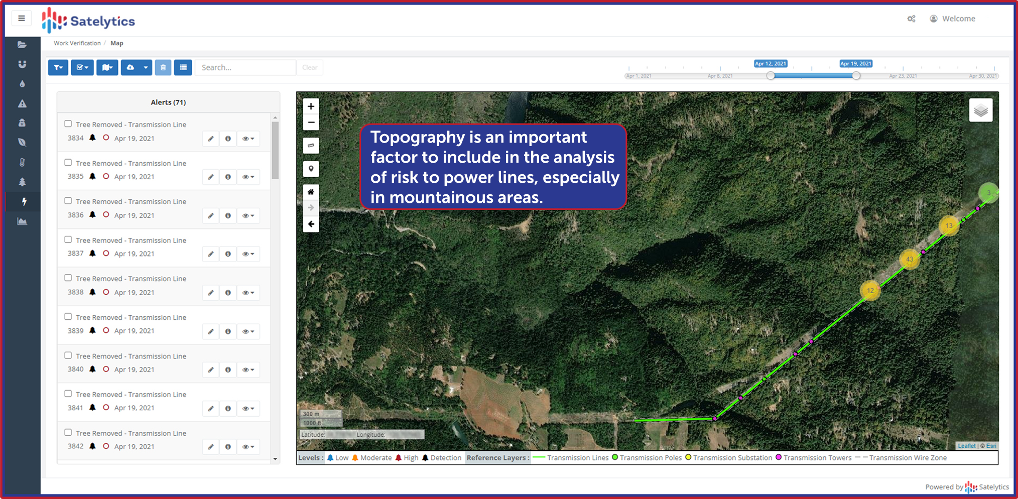
Topography. Trees perched on an incline are subject to stress solely from an anchoring perspective. The same algorithm we use to measure tree height is applied as a digital surface model (DSM). This model can then calculate degrees of risk to assign to varying slopes. The DSM has proven valuable for transmission corridor managers, especially in mountainous geographies.

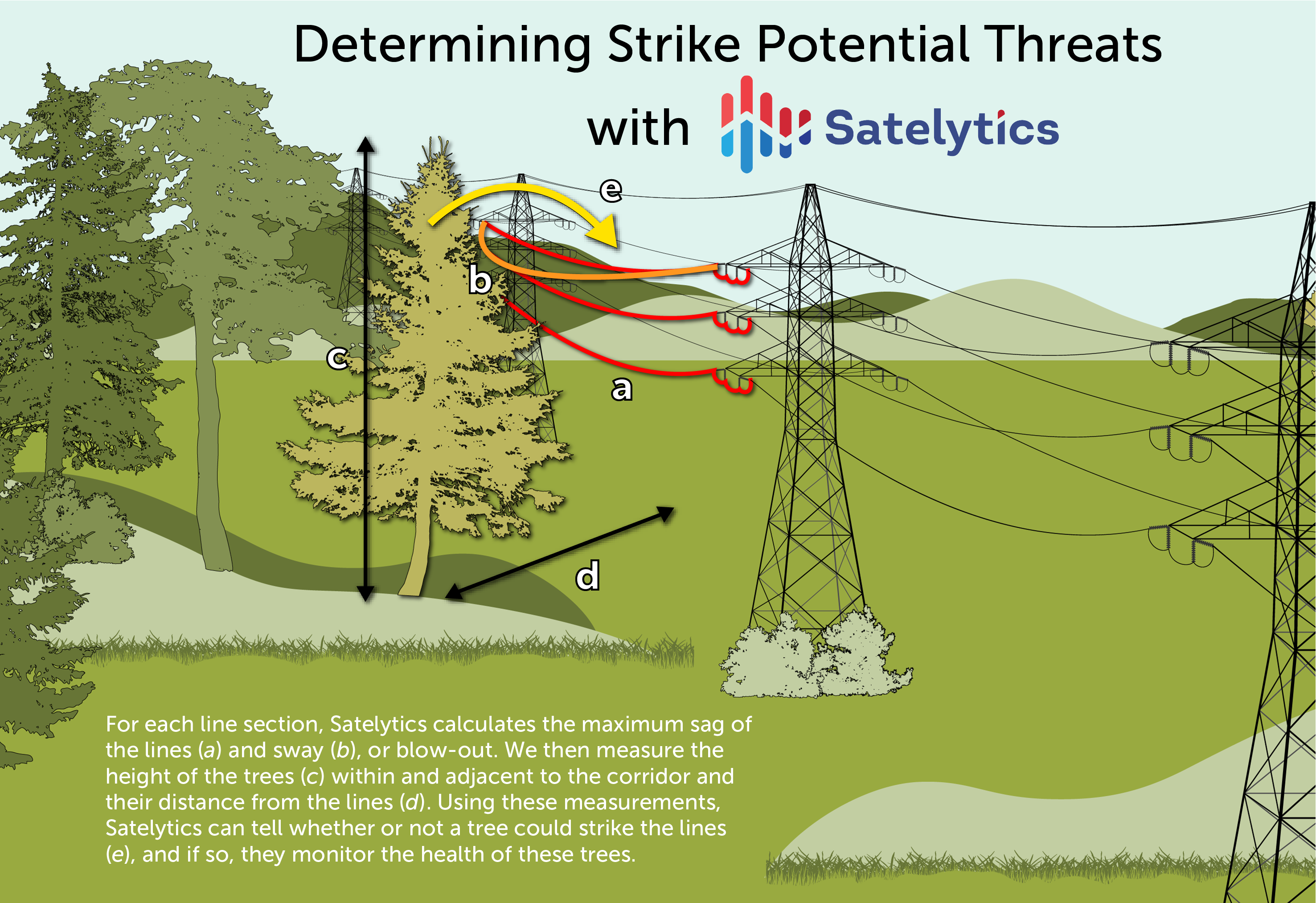
Weather and Climate. Wind and temperature affect the sway or “blow-out” of transmission lines, which we analyze when establishing strike potential threat levels.

A motto for our science professionals is, “the more data, the better.” What other information and alerts could provide value for your infrastructure and vegetation managers? All the above are learnings that have been derived from conversations with our customers regarding their desires to improve performance.
We welcome your expertise in guiding additional factors to include in the analysis. Let’s talk!