• General

• General
We just signed a new project with a large energy company looking to build a damage prevention program including notification of encroachments along right-of-ways. The goal for any damage prevention program is to proactively identify and manage outside threats. The customer told us they are instituting a multi-vendor solution, using traditional piloted and driven surveys along with Satelytics’ geospatial analytics solution for a portion of the area of interest.
The reason cited for choosing Satelytics: “We want to go to a completely automated solution in the future.”
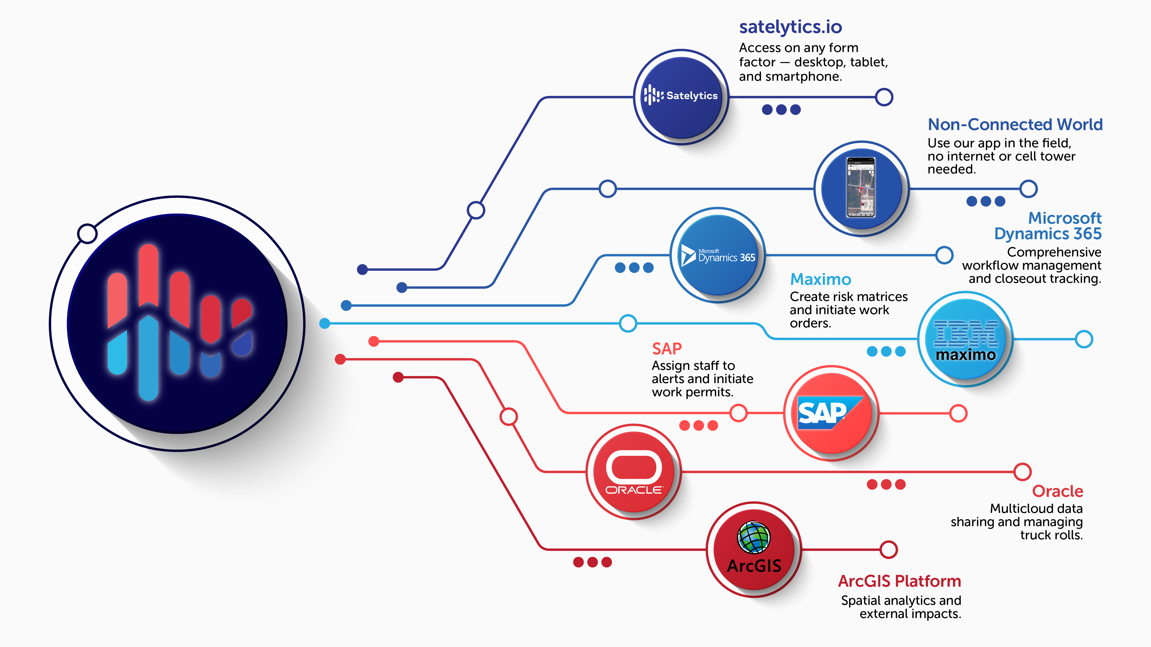
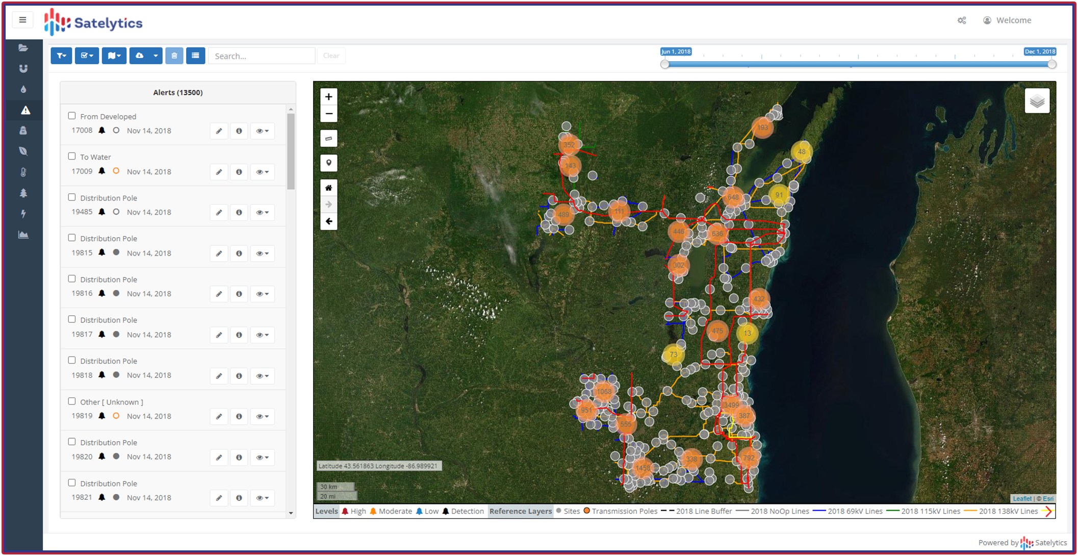
For our customers, the future is now. Many Satelytics users monitor their entire systems. The journey to get to survey automation involves back-end systems, workflows, and action — responding with Satelytics alerts as triggers. Satelytics’ change detection and encroachment monitoring are proven accurate. All alerts are viewable on our web-hosted platform and can be passed through to your organization’s internal workflow management systems via API.

Multiple paths provide flexibility in the use of Satelytics' results as triggers for action.
For damage prevention, our Constant VigilanceTM monitoring solutions utilize high-resolution (0.5-meter or better) satellite data to identify vehicles, illegal construction, digging, land movement, state of construction, vegetation loss, and more. High-resolution satellite imagery can be obtained from commercial vendors 4-5 times per week for any location in the world.

Survey your entire asset area with Satelytics.
Our new customer never doubted Satelytics’ ability to deliver alerts a few hours after satellite overpass. Rather, they acknowledge their internal struggles in adapting to the rich new data stream while making the jump to survey automation. If this is the sticking point for your operation, let’s talk. Our professional services team expertly guides customers in setting up systems to handle our geospatial analytics data stream.
Satelytics is ready to go with the front-end portion of your automation journey. We understand that roadblocks to full adoption remain, but we are ready to help.