• Electric & Gas Utilities,Pipeline Operators

• Electric & Gas Utilities,Pipeline Operators
Right-of-way (ROW) management teams are vital for any midstream or utility organization. Containing critical energy infrastructure over expansive swaths of land, ROWs are at high risk, facing both natural and human threats.
Working with industry experts and customers, found that the prioritization of ROW maintenance and safety can be made possible through land classification projects. Satelytics rapidly classifies large infrastructure areas according to an organization’s preferred metrics, which are used to prioritize risk and budget maintenance spending.
As utilities and pipelines switch to integrated vegetation management (IVM) and other new ROW maintenance methods, many are looking to geospatial analytics for a holistic understanding of their assets and what’s surrounding them, starting with land classification. Each classification presents a level of risk for overhead and buried utilities. Satelytics’ Constant Vigilance™ identifies aspects of urban environments and construction, like houses, commercial buildings, roadways, vehicles, pools, and sheds. In agricultural and other rural settings, our algorithms identify crops, arable land, forests, marshes, and waterbodies.

Beyond land use, Satelytics identifies and alerts to vegetation cover and encroachments. Categories for vegetation classification can include agricultural lands; cleared ROWs; and various levels of tree, brush, and grass cover. We encourage our customers to define thresholds and set alerts to meet their companies’ specifications to get the most out of their projects.

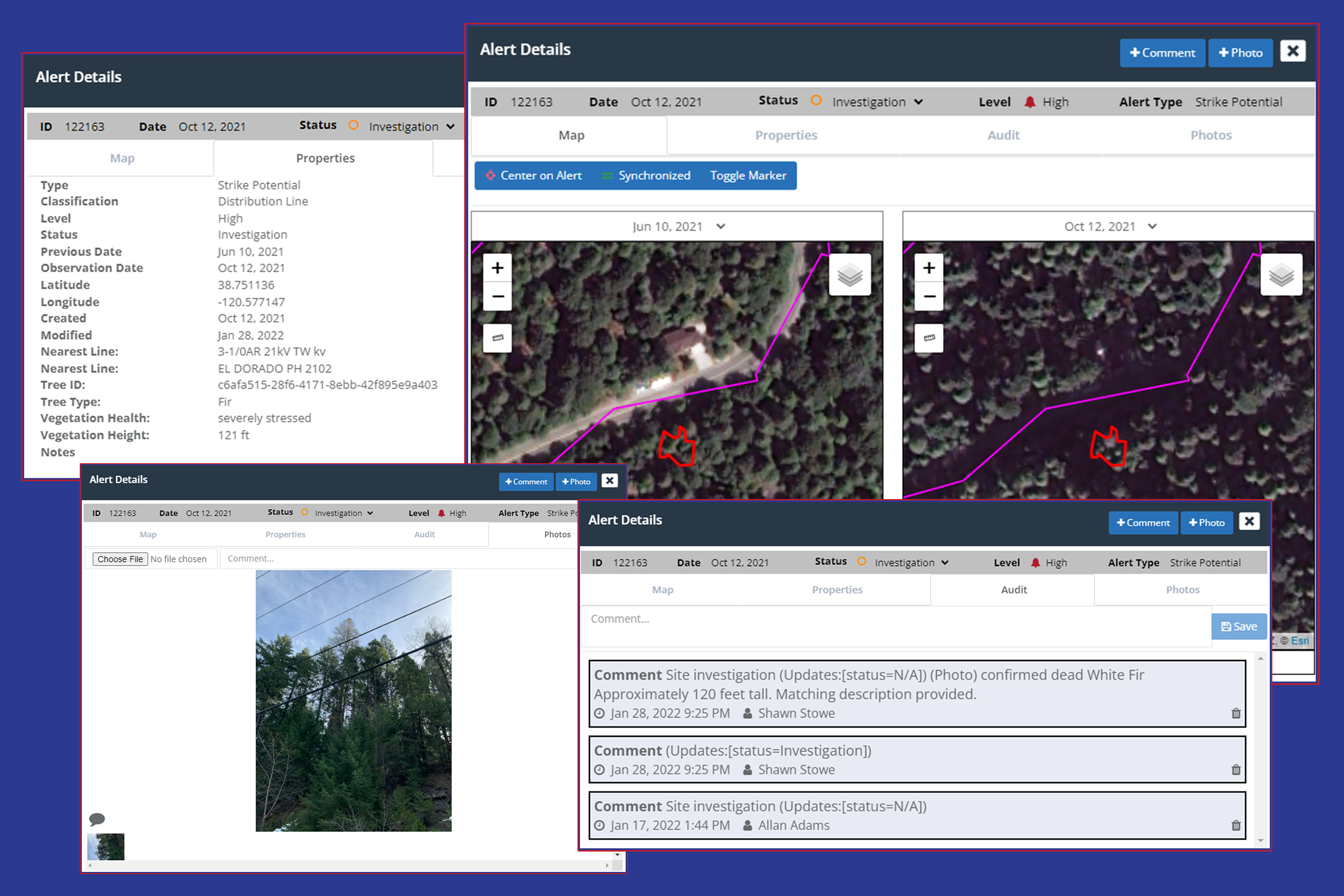
Identify ROW risks such as strike potential.
The goal of Satelytics is always to help our customers get ahead of threats facing their assets. Land classification is the first step to identifying and reducing risk with geospatial analytics. Want to learn more? Let’s talk.