• Mining & Extraction

• Mining & Extraction
A recent growth area for Satelytics has been the mining industry. While the growth is recent, the analytics being deployed are some of the most mature of our offering. In fact, our algorithms that quantify heavy metals were developed alongside our longest-term industry partner, bp, on legacy mining sites that they had inherited in acquisitions. All Satelytics’ algorithms were developed to solve specific business challenges and are field-verified by our scientists. Here, we present an overview of our solutions related to mining exploration.
Satelytics’ algorithms analyze multispectral and hyperspectral imagery from commercially-available satellite vendors. Spectral intelligence is unique in that it can offer both detection AND quantification of constituents. Our brand of geospatial analytics goes beyond traditional remote sensing, yielding insights into below-surface features via surrogate measurements of mineralization, vegetation speciation, geohazard detection, and water quality.
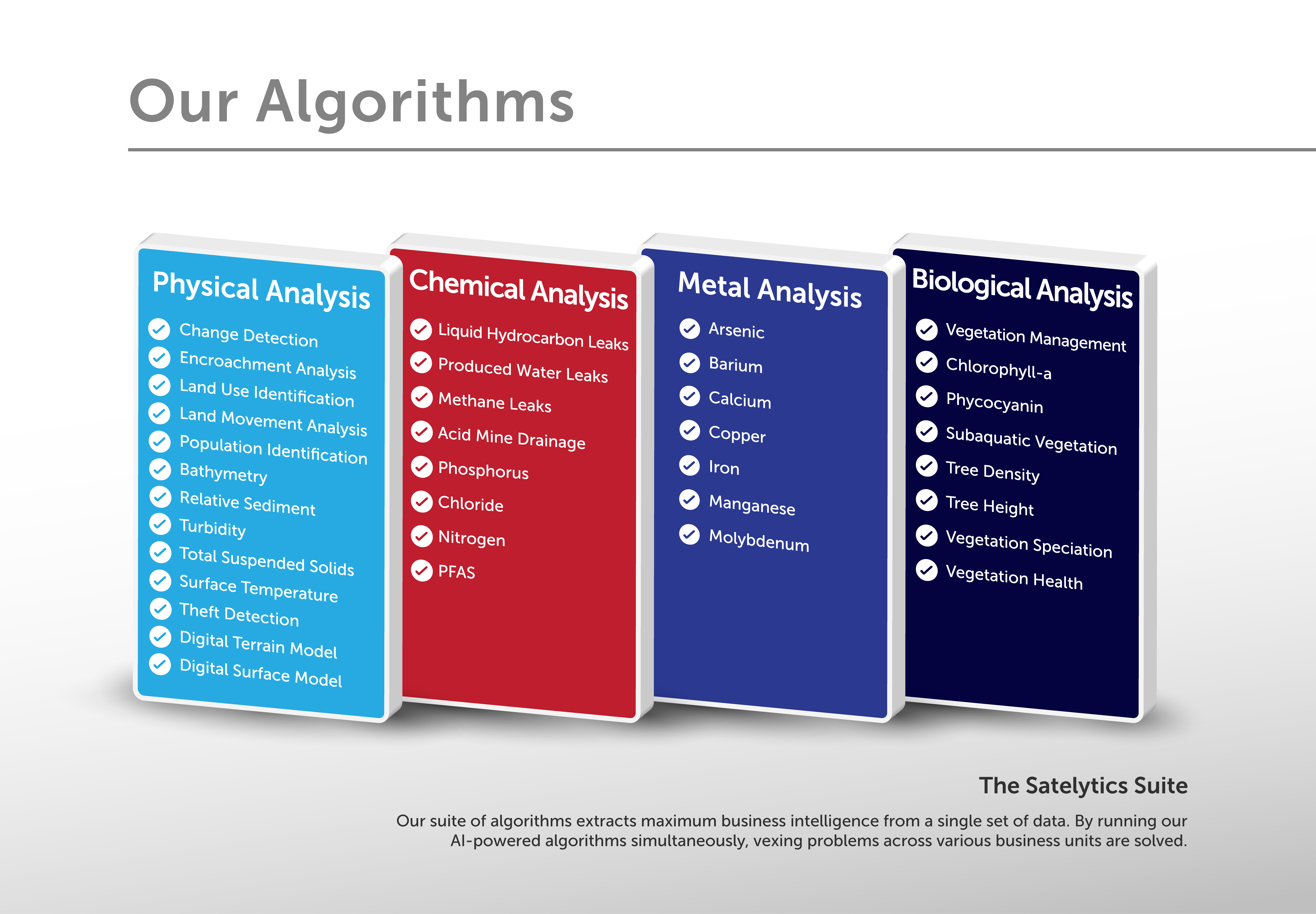
The costs associated with looking for mineral deposits are significant. Typically, mineral discovery requires much fieldwork, followed by extensive drill programs. Satelytics can point exploration leaders to the honey hole with our ability to detect and quantify surficial expressions commonly associated with minerals beneath. We quantify the following in parts-per-billion concentration on land and water: arsenic, barium, calcium, copper, iron, manganese, molybdenum, phosphorus, and nitrogen. Some of these elements are either of direct interest or can be surrogates for the mineral bodies below. We have analyzed hundreds of millions of pixels for these elements. As a result, accuracy can be achieved within a few percent over vast land and water areas.

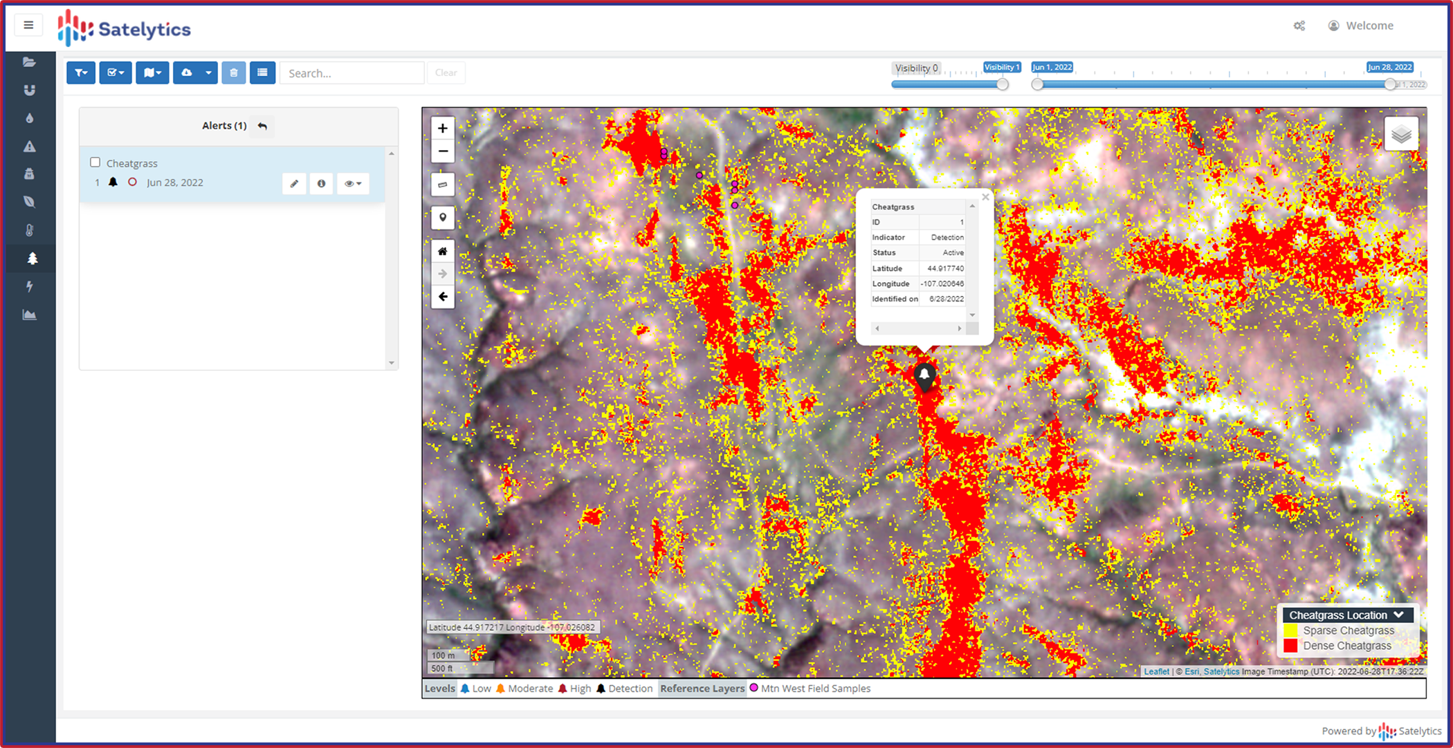
Measuring elemental composition on land or in water.
Other attributes applicable to exploration include the identification of lineaments, mineral districts, granite outcrops (potassium, silicon, aluminum), and alteration zones (iron, titanium, manganese). We can also provide analyses for iron oxides, chlorides, sulfates/sulfides, salts, and hydrocarbon presence. Our vegetation algorithms run in parallel and can map out zones where mineral systems present at the surface.

Satelytics provides you with a raft of analytical capabilities.
In the next Satelytics Insider article, we will cover how Satelytics can benefit operational and closed mine sites.
Whatever your mineral of interest might be, geospatial analytics can likely be applied to get you closer to the starting point before ever setting boots on the ground.