• General

• General
Satelytics’ software team built our web-hosted platform, satelytics.io, for customers to view their alerts and project data. But how does the data get there?
We begin with quality control, examining the data collected from our sensor sources for imperfections before running our algorithms. These include cloud obfuscation, low sun intensity, off-nadir data, and more. (Nadir is the point directly below the orbiting satellite). If the data received does not meet our requirements, Satelytics will not purchase the data. We continue to task the satellite to capture the area of interest until quality datasets can be obtained, often as soon as the next day, given the many remote sensing options available.
When quality demands are met, our AI-powered algorithms get to work processing the spectral data, identifying and often quantifying substances and conditions of interest. Every object has a unique spectral signature, allowing accurate differentiation and identification from high above earth’s surface. Our algorithms have been used to monitor areas all over the world.

How Satelytics works.
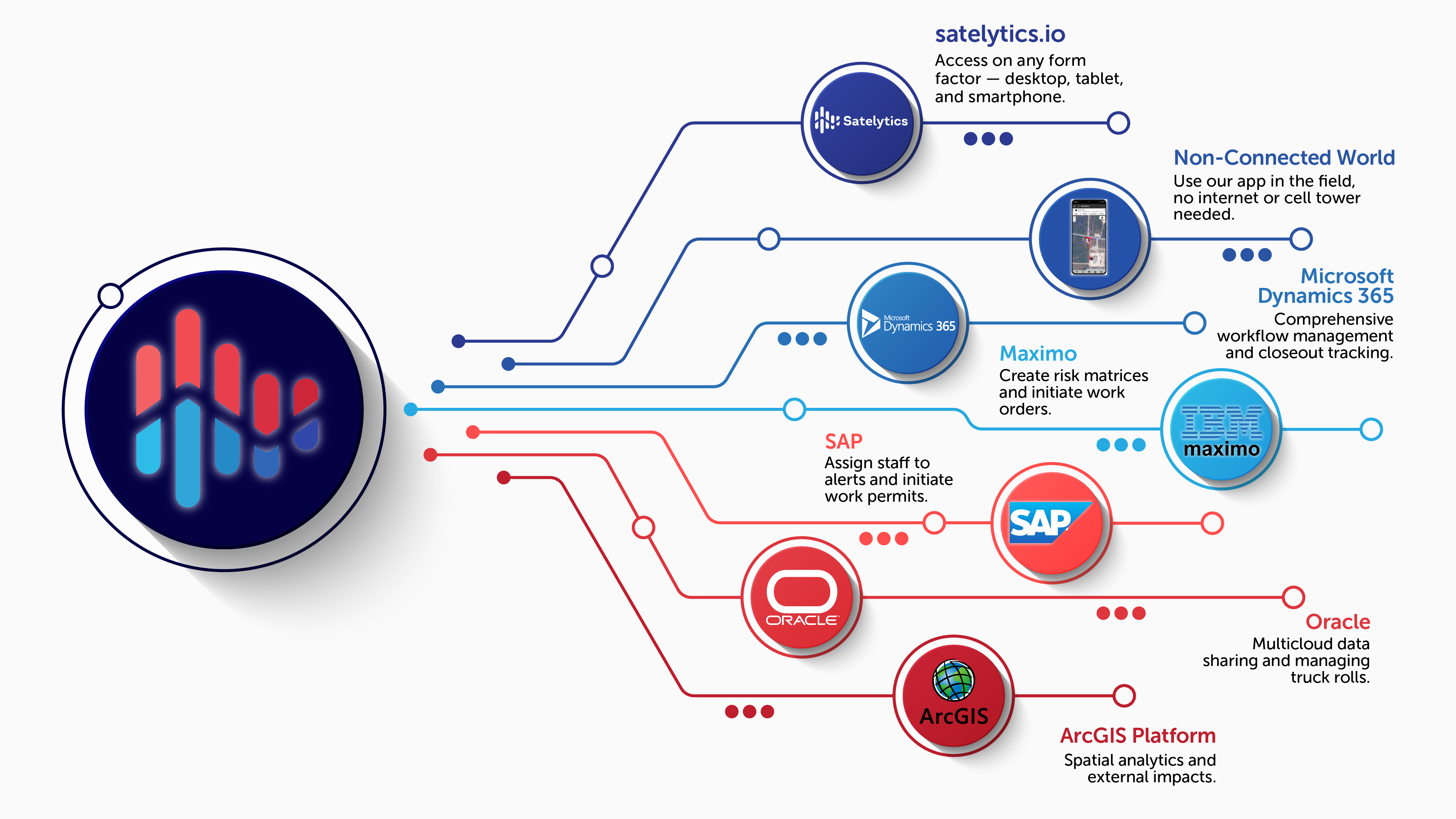
Once analysis is completed, we display the results in satelytics.io for our customers’ viewing. Our customers choose how alerts are categorized and displayed for easy integration into their workflows. In addition to satelytics.io, all of Satelytics’ outputs can be imported into our customers’ internal software systems through a selection of APIs.

Satelytics' Web services and APIs.
Satelytics’ business model is built upon providing actionable alerts from quality, high-resolution data. Call us today to see how our algorithms can be your eyes in the sky.