• Oil & Gas,Pipeline Operators

• Oil & Gas,Pipeline Operators
Pipelines of all sizes crisscross both rural and urban areas where we live. Risk to this energy infrastructure presents itself through many avenues: human activities, land movements, vegetation growth and loss of cover, weather phenomena, and more. One specific area that represents heightened risk for pipelines is water crossings.

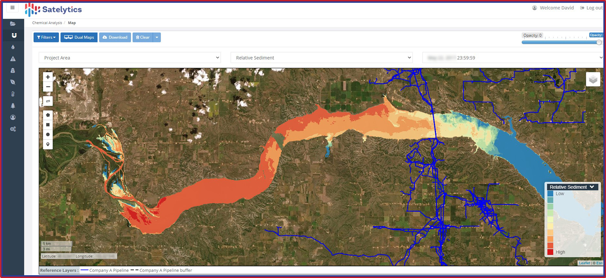
Streams, rivers, and lakes are constantly in flux —between flooding and drought cycles. The need to protect pipelines as they cross these waterbodies is immense. Many waterbodies are prone to scouring or sediment buildup that can impact infrastructure buried below. Regular monitoring with geospatial analytics reduces these risks and more with early detection. Satelytics measures bathymetry for waterbodies intersecting pipelines to a depth of 40 feet with spatial resolution down to a square foot and identifies land movements and classification changes.

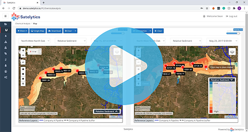
Monitor sediment loading in water crossings.
Shoreline erosion is another natural occurrence presenting risk to pipelines. Small streams and rivers are subject to rapid changes. In oil- and gas-producing basins, gathering lines and flow lines may not be buried as deeply as their larger interstate counterparts — risking exposure or breaks from erosion. Satelytics spots erosion and land slumping along streams near pipelines.

Shoreline erosion presents additional threats to assets, especially smaller flow lines.
With Satelytics, monitoring frequency is driven by the solution(s) employed by the customer and environmental challenges of the area of interest. In the case of water crossings near pipelines, monitoring frequency increases during seasonal changes, such as early spring when there’s snowmelt runoff or late summer droughts, to ensure threats aren’t missed.
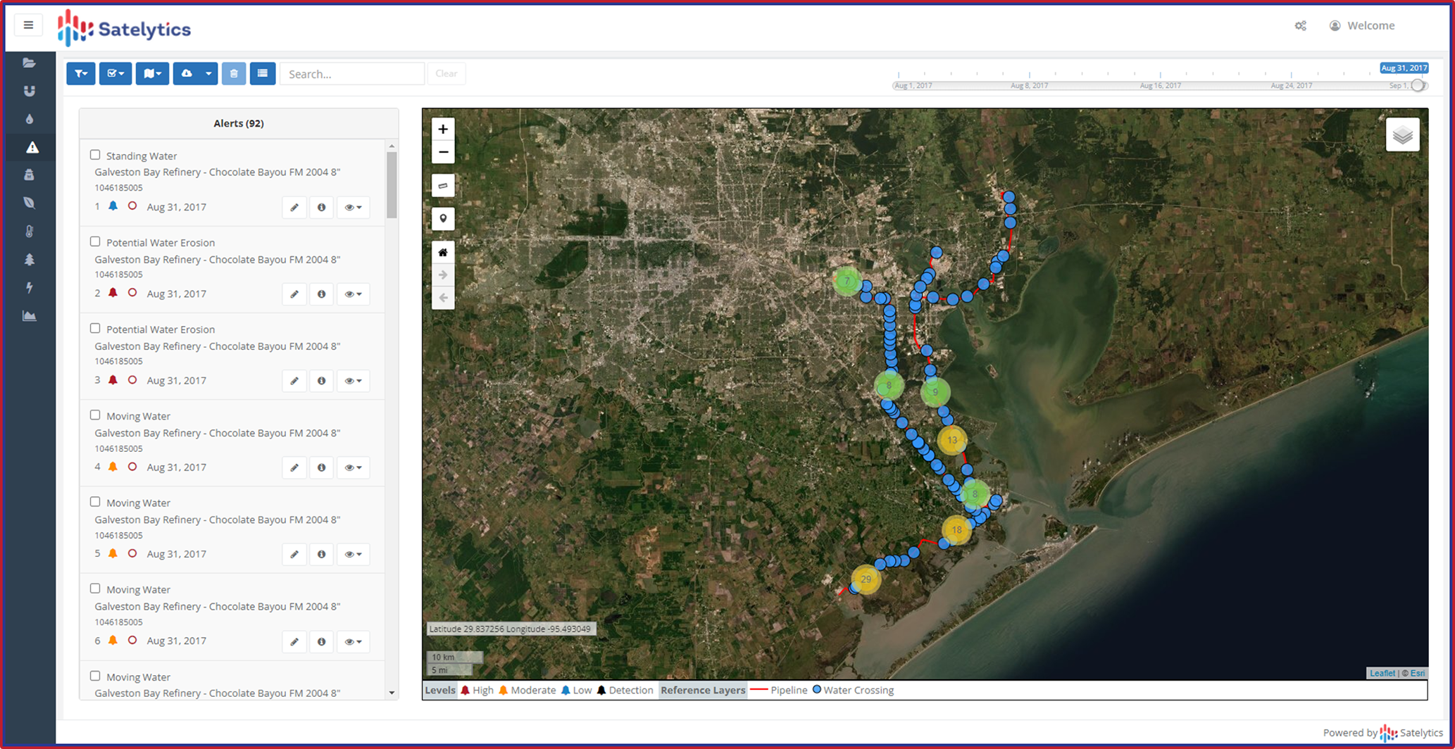
Regardless of the issue, Satelytics delivers alerts with specific locations and intensity data, ensuring you send crews only to areas needing immediate attention — while arming them with all the information and resources required to get the job done. Call us today to get started conquering the water crossing challenge with Satelytics!