
• General

• General
What comes to mind when you hear the terms “remote sensing” and “satellite monitoring?” Beautiful earth pictures? Aerial images of war zones? Maps of deforestation or some vegetation metric laid over an agricultural field?
These are all common deliverables. However, the key is utilizing analyses of raw imagery to produce actionable alerts, prompting quick decision-making.
This is how we like to think of geospatial analytics: a data stream. Satelytics provides alerts to conditions over large asset areas, offering detection — and in many instances quantification — of various substances and phenomena to streamline the decision-making process of how assets are operated. The following is a sampling of our 40+ algorithms.
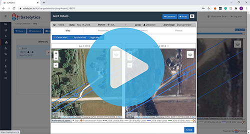
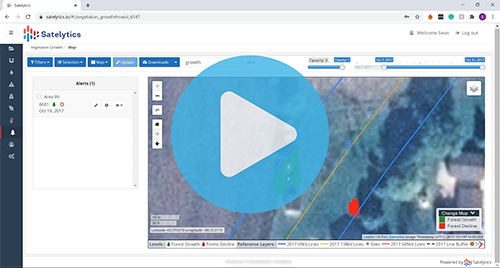
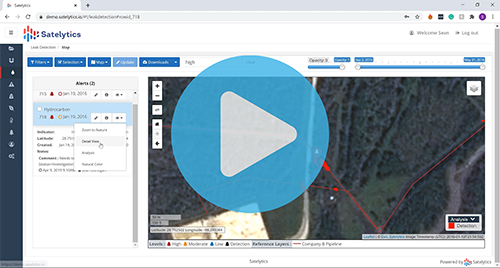
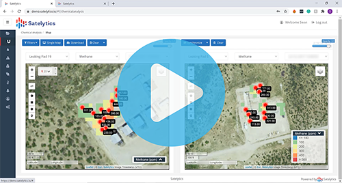
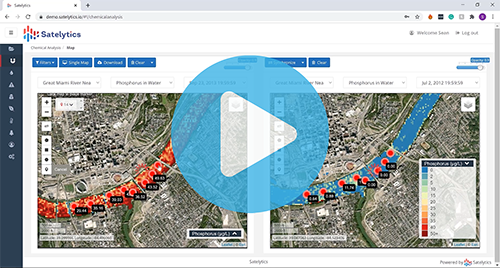
The goal of Satelytics is to alert our customers to threats before disasters happen. Our algorithms offer precise coordinates and quantification metrics so alerts can be prioritized and appropriate actions can be taken. And with daily revisits over any location worldwide and cloud processing, results are returned within hours of data capture — allowing our customers to act fast.
Next time you see an image taken from space, think about the data it could provide to make rapid decisions. Those pretty pictures could save time, money, and resources. Call today to explore further possibilities with Satelytics.