• Electric & Gas Utilities

• Electric & Gas Utilities
U.S. transmission planners are staring down the barrel of a historically large build program. Federal Energy Regulatory Commission (FERC) Form 730 filings show that incentive-rate utilities alone planned US $25.7 billion of greenfield high-voltage projects for 2024-25 — more than double the 2018 cohort —and still fell 14% short of projected in-service dates last year. Overlay that with the Inflation Reduction Act's 80-GW corridor clearing provisions and you have a demand for roughly 2,000 new circuit-miles per year through 2030.
Yet installing new conductors is only half the story. Once a line hits "notice to proceed," owners typically earmark 3% to 5% of EPC value for construction monitoring and documentation — roughly US $1 billion per year at today's pace. After energization, NERC Reliability Standard FAC-003-4 forces an annual 100% vegetation patrol of every ³200 kV corridor, with mandatory corrective clearing that pushes first-year O&M to ≈US $14,000 per mile — another US $28 million for each 2,000-mile tranche.
Bottom line: every mile you add today drags a compliance annuity behind it tomorrow. Traditional boots-on-ground or helicopter patrols no longer scale — financially or environmentally.
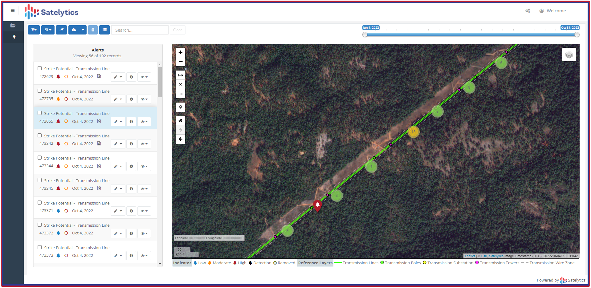
Satelytics analyzes stereo satellite imagery with an AI engine that resolves change events to 30- to 50-cm positional accuracy. Customers instruct us to schedule collects on a frequency that serves their purpose, then results land in satelytics.io, the web-based portal, within days, significantly improving what has previously taken months to achieve.

Transmission line pre-planning and subsequent monitoring.

Satelytics offers a vegetation encroachment algorithm that analyzes 30- to 50-cm stereo imagery. Early adopters have seen dinner plate-size geolocation accuracy — tight enough to put ROW risk trees into sub-meter bins without field GPS. With FERC's latest pending rule eyeing "advanced line-ratings and dynamic modeling," expect regulators to demand richer, more frequent corridor data. Satellite-based geospatial analytics turn that future headache into today's routine.
The assets you're about to fund will live at least 40 years; the datasets that defend them should too. Fold Satelytics into your next capital filing and watch the balance of construction risk, compliance cost, and stakeholder skepticism tilt in your favor. Because in a world racing to electrify everything, the real bottleneck isn't electrons — it's insight. Contact us today to explore how geospatial analytics might provide that required insight.