• General

• General
Outdated procurement practices can sometimes feel like trying to fit a square peg into a round hole. Are you still thinking about satellite-based geospatial analytics in terms of linear miles? If so, you might be missing out on the full power of this revolutionary technology.
Traditional infrastructure monitoring often involved crews walking pipelines or planes flying at low altitudes over electrical transmission lines. In that context, pricing by linear mile made sense. But satellite technology has changed the game entirely.
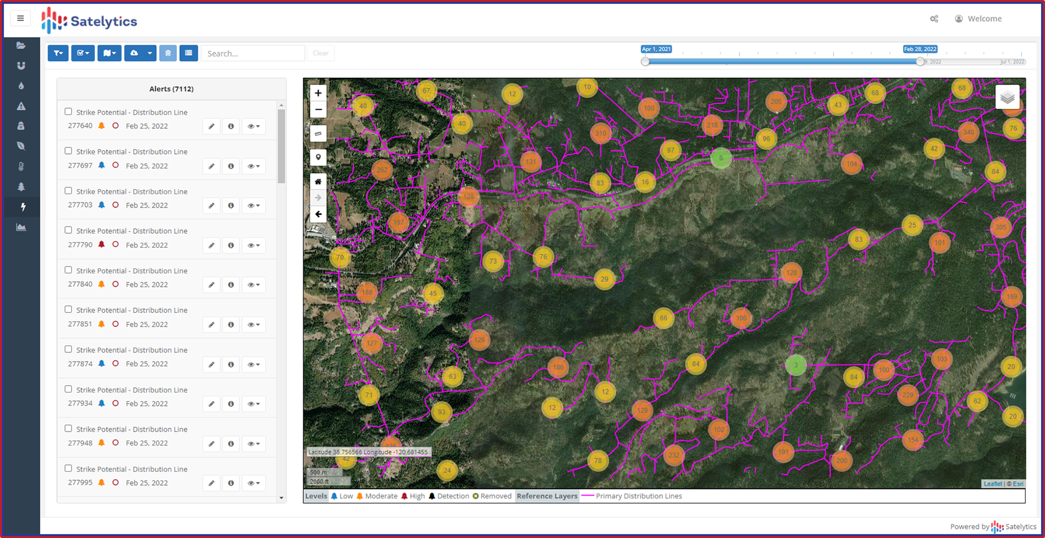
When a satellite orbits 250 miles above Earth, it doesn't just capture a narrow corridor. Instead, it gathers rich multispectral or hyperspectral data across hundreds of square miles in a single pass. This wealth of information enables comprehensive analysis that extends far beyond the confines of a linear asset.

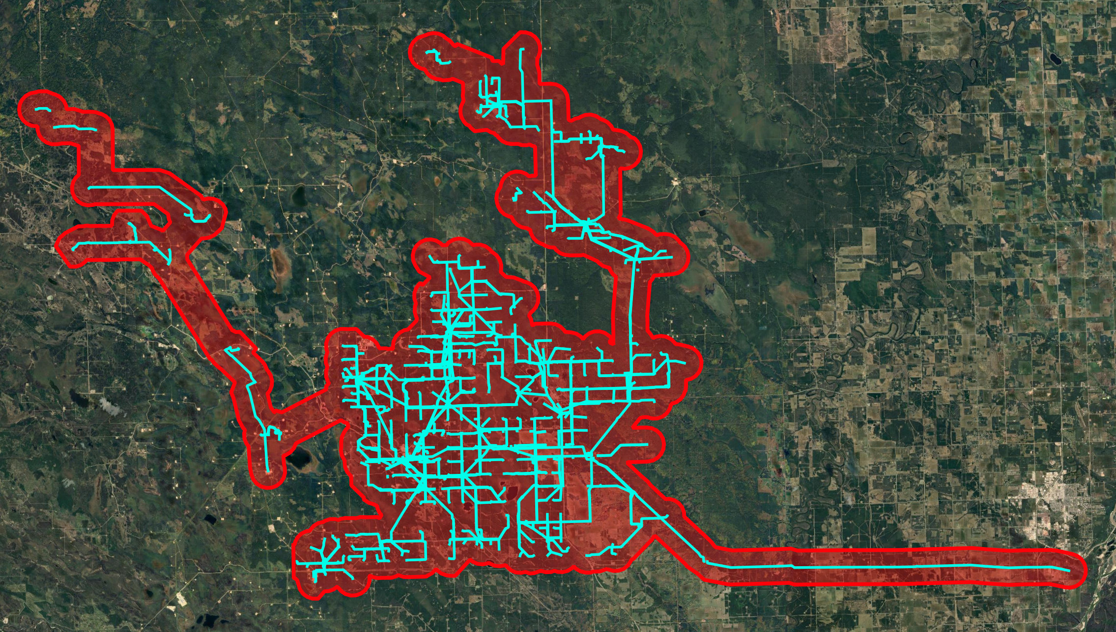
Monitor highly-tangled assets that don't fit the linear model.
Satelytics harnesses the full potential of satellite data. Our pricing model reflects the true capabilities of this technology:
We also understand that you don't want to pay for data you don't need. That's why our team works diligently to tailor your monitoring area. Provide us with your infrastructure details, and we'll craft a monitoring plan that covers exactly what you need—no more, no less. Additionally, whether you need annual checks or weekly monitoring, we adjust our capture schedule to match your requirements.
Consider an oil & gas company with a network of pipelines crisscrossing a 3,000-square-mile area. With linear pricing, they might deem satellite-based monitoring too costly, but that isn’t reality. With area-based pricing, they gain insights into:
This comprehensive view enables proactive risk management and more informed decision-making.

Satelytics trims satellite data purchase to only the areas you need.
We understand that adapting to new concepts can be challenging, especially when established procurement processes are in place. However, embracing area-based pricing for satellite analytics offers significant advantages:
It's worth noting that all reputable geospatial analytics companies source satellite data in a similar manner. This means area-based pricing is the industry standard for cutting-edge monitoring solutions.
Don't let outdated pricing models limit your access to powerful satellite analytics. Contact Satelytics today to discover how our modern approach to geospatial monitoring can benefit your organization.