• General

• General
Many pipelines are outfitted with internal supervisory control and data acquisition (SCADA) systems for monitoring forces and other internal conditions. But what about threats outside of the pipeline? Monitoring elevation and land movement of areas surrounding pipelines and buried infrastructure is a proactive method of risk prevention.
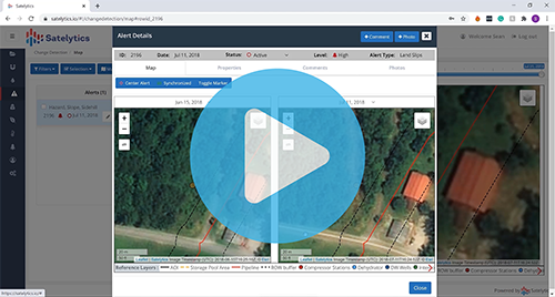
Satelytics uses high-resolution (30-50 cm) data from commercial satellite sensors to monitor areas prone to land movements and geohazards. Our algorithms detect unique spectral signatures in areas where vegetation might be stressed by an incipient land movement or even the smallest area of newly exposed soil. These changes might be indicative of land movements that impose additional risk to above-grade and buried assets.

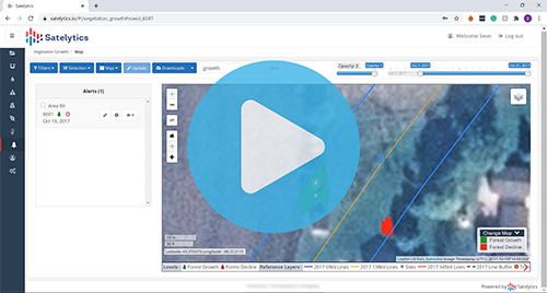
Measuring elevation changes in the land surrounding assets is also beneficial. Satelytics generates a digital surface model utilizing the spectral data we collect. We offer the same product to our utility vegetation management customers wishing to monitor tree height, density, and strike potential in transmission corridors.

Our customers are able to monitor their asset territories throughout seasonal events like rain, snowmelt, flooding, and wildfires. Every year brings different durations and intensities of natural events, so having the flexibility Satelytics provides to choose when imagery is acquired is key to an optimized monitoring program.
Land slips and slides can be subtle in their infancy, often going unnoticed by the human eye until it’s too late. Our algorithms are trained to detect changes of all sorts, including identifying threats to underground infrastructure. Keep your assets covered. Call us today to schedule a demonstration of our land movement monitoring capabilities.