• Electric & Gas Utilities

• Electric & Gas Utilities
When connecting utility services, timing is everything. As cities expand and new developments spring up like wildflowers after a rain, how can utility companies ensure they're not left playing catch-up?
The challenge is clear: with rapid urban development, utility companies often find themselves scrambling to keep pace with new service connections. This reactive approach not only leads to potential revenue delays but can also result in rushed, non-optimized schedules that frustrate developers and end-users alike.
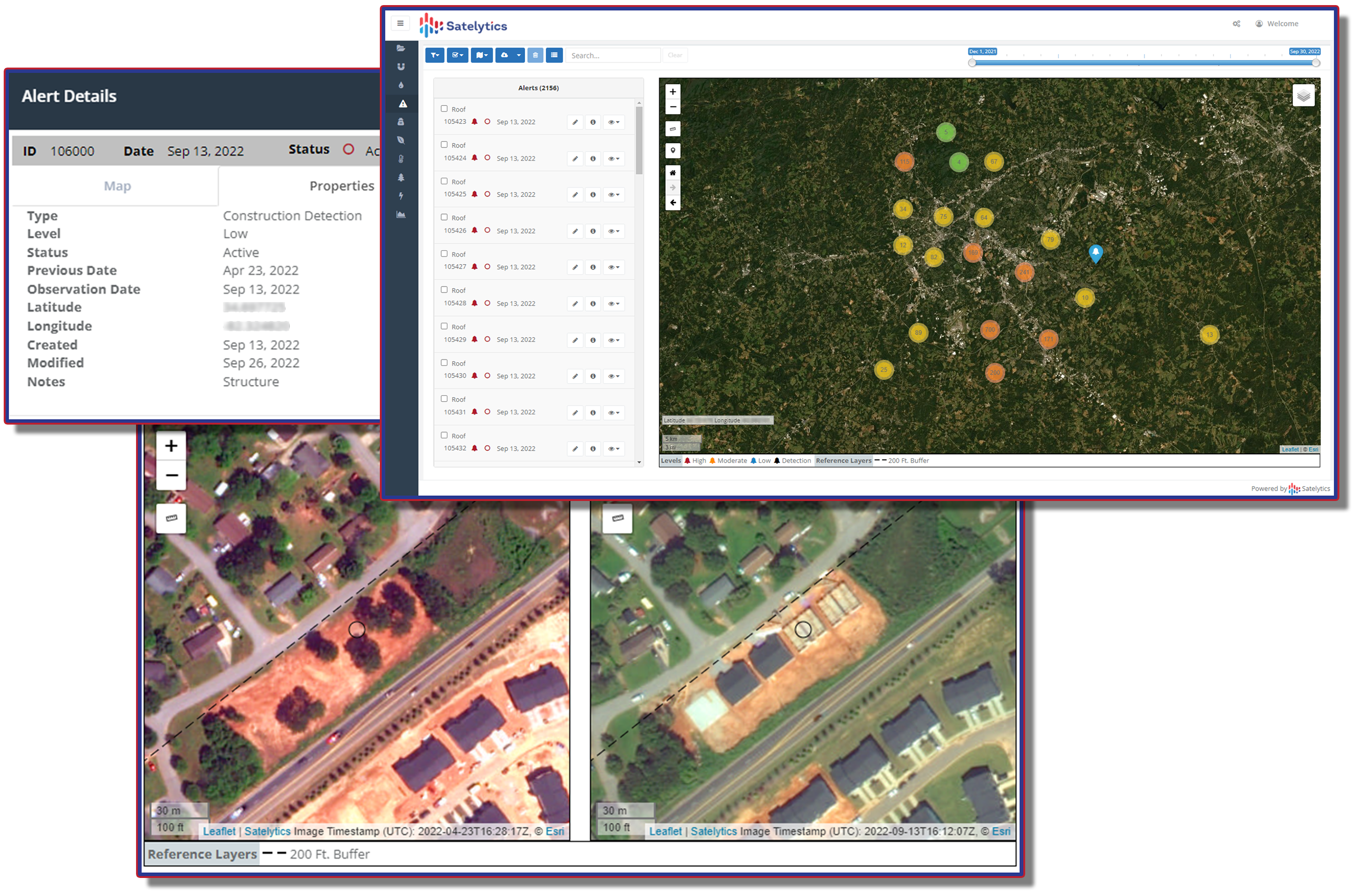
Satelytics believes the key to staying ahead lies in harnessing the power of geospatial analytics. Our cutting-edge technology transforms satellite imagery into actionable intelligence, allowing utility companies to predict and prepare for service connections with unprecedented accuracy. Some of our customers refer to this as land development.
Our advanced change detection algorithms offer a suite of game-changing capabilities:

Identify utility service connection needs long before developers beg for quick action.
The benefits of leveraging geospatial analytics for construction tracking are clear:
In the race to connect utility services, the winners will be those who can see the future. With Satelytics, you're not just keeping pace – you're setting it. Our geospatial analytics platform ensures you're always one step ahead, turning construction starts into revenue opportunities.
Ready to revolutionize your approach to new service connections? Contact Satelytics today and discover how our advanced geospatial analytics can propel your utility into a more efficient, profitable future.