Satelytics: The Innovative Alternative to Field Crew Deployment
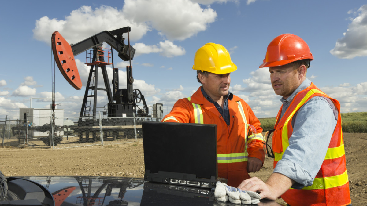
The oil and gas business sector is the lifeblood that fuels travel and everyday life across the globe. In the United States alone petroleum deliveries are upwards of 19.5 million barrels per day. The stress of maintaining daily activities and compliance with regulatory constraints is a constant battle for each and every oil and gas proprietor. Private and public sectors spend billions of dollars annually to assess and monitor various surficial features for potential noncompliance. Monitoring is typically conducted via the deployment of field crews, which require a substantial amount of time and money, as well as risk exposure, to deploy to each unique location. Traditional methods require the field crews to conduct a “grab sample” analysis approach to solving complex problems. Satelytics offers a solution that provides a more comprehensive evaluation of their area of interest. Satelytics' proprietary analytics and algorithms allow customers to gain an expanded view of their assets and impacts.
Satelytics' proprietary analytics and algorithms allow customers to gain an expanded view of their assets and impacts.
Satelytics accomplishes this by deploying expertise in image processing, applied analytics, and unique algorithms. Applying Satelytics provides an unparalleled advantage of assessing surficial features by combining spectral data with the use of analytics and algorithms. Satelytics collects spectral information via satellite, aerial, drone and/or field spectroscopy. Past implementation of Satelytics has yielded to the development of patented algorithms to assess clients’ problem areas. Using remotely sensed data, customers have deciphered impacted areas from nominal background values, interpreted spatial distribution of impact plumes, and greatly increased datasets to allow the application of advanced analytics.
Satelytics provides stellar professional services to accommodate customer needs and allow unique new insights into solving complex problems. Using remote sensing empowers customers to apply a robust and repeatable methodologies to not only define “hot spots”, but monitor assets. Deployment of Satelytics allows for the reduction of field crews, improves the quality and quantity of data, and increases the frequency of data acquisition. Satelytics provides the most current information available for each area of concern and permits clients to access data via desktop, laptop and/or mobile device.
