Measuring Bathymetry Using Satellite Imagery and Satelytics
Precise measurement of waterbody bathymetry is now possible using Satellite imagery. Knowing the accurate depths and topography of water bodies is particularly useful for power stations, pipeline operators, refineries, and other coastal infrastructure that rely on or cross waterways.
Erosion of waterbody floors or changes to sediment distribution can threaten surface infrastructure, interrupt operations, or expose pipeline that could eventually result in environmental damage as well as negative impact to capital assets.
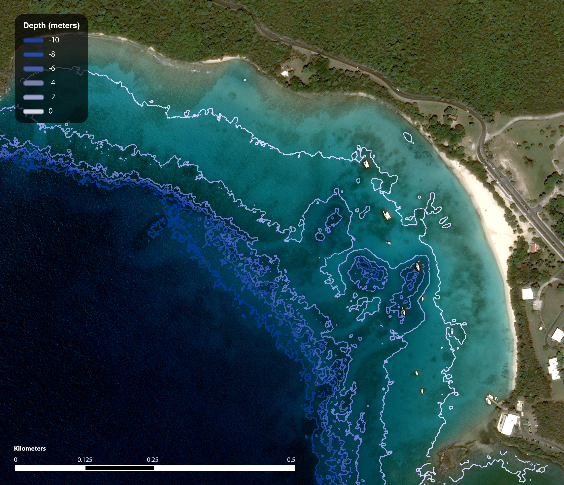
Current methods of measuring bathymetry are slow, tedious, and require expensive equipment and personnel to conduct. Satelytics is a turnkey service accessed over the web that allows infrastructure operators to see accurate data and visualizations of a waterbody’s bathymetry using only Satellite data.
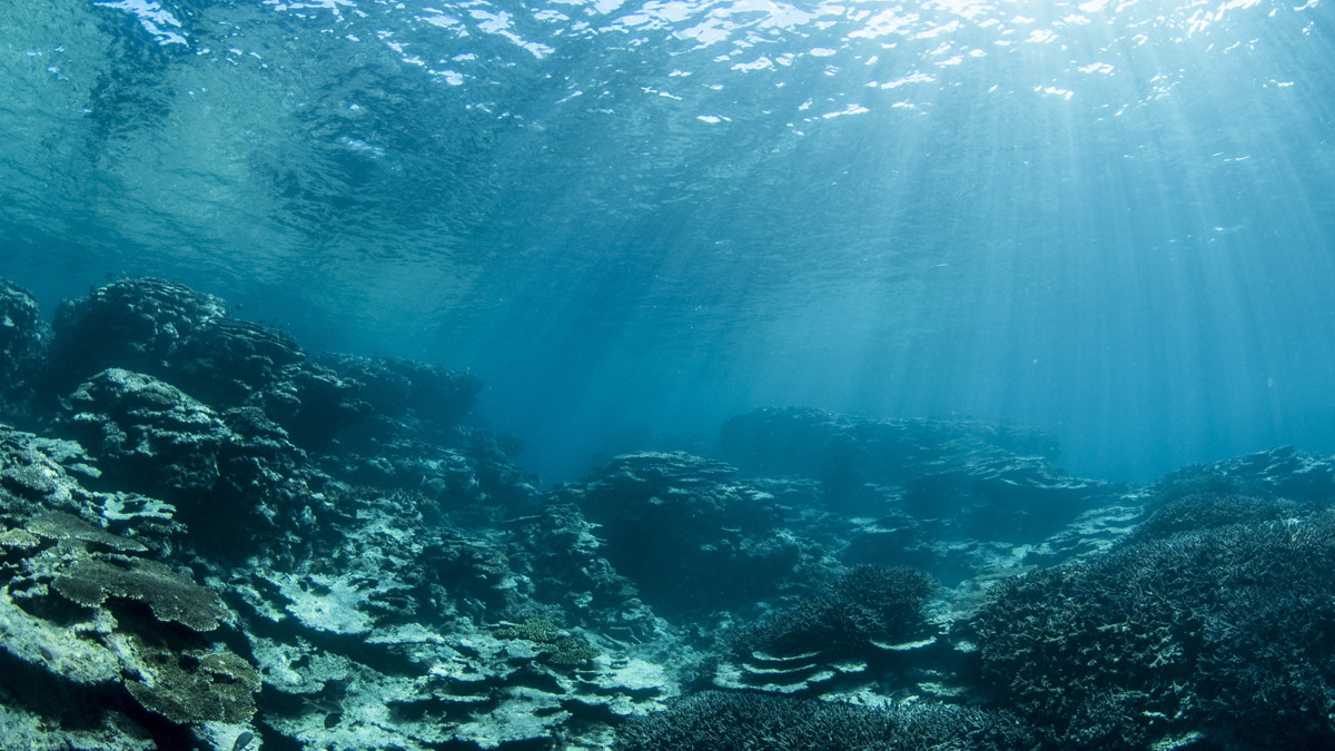
Using multispectral satellite data and proprietary remote sensing algorithms, the Satelytics software suite can see through the water’s surface directly to the earth below. This data can then be used to calculate precise water depths and build accurate visualizations of the target area’s bathymetry.

“One of our customers had sediment buildup near a power station intake pipe that directed freshly discharged (warm) water into the power station,” comments Allan Adams, Director of Science at Satelytics, “measuring the entire area with satellite imagery was the only way they could make an accurate diagnosis of the problem.”
Satelytics can also be used to determine the efficacy of remediation actions taken such as operational changes, underwater repairs, or dredging.
Satelytics even allows companies to measure bathymetry over multiple satellite overpasses and view that time series data in an easy-to-use interface. This data can then be sent to other programs and monitoring software via an API (Application Programming Interface), or the customer can choose to receive mobile or email alerts based on customizable thresholds.
With the advent of nano-satellites and commercial space travel, companies are rushing to provide shorter and shorter revisit times for satellites. Some revisit times are predicted to be as frequently as every five minutes anywhere on earth. In the future Satelytics expects to utilize these advancements to provide access to near-real-time data on bathymetry measurements, and near-instant alerts on changes that fall outside of customer prescribed thresholds.
“The sooner this data ends up in the operator’s hands, the more proactively they can address the problem,” Adams says, “and Satelytics is the only software setup to allow for continuous monitoring and alerts.”
Getting ahead of the problem means reduced exposure to risk, minimized interruption to operations, and avoided regulatory consequences should a threat result in environmental damage or violate governing body regulations.
