• Oil & Gas,Pipeline Operators

• Oil & Gas,Pipeline Operators
Satelytics’ oil & gas and midstream customers are well versed in our hydrocarbon and produced water leak detection capabilities that add an additional layer of protection to their infrastructure. Customers are often pleasantly surprised to hear additional tools exist to help them maintain and remediate their pipeline right-of-ways (ROWs), specifically focused on vegetation management. Like all of Satelytics’ measurements, vegetation management analytics can be obtained from the same set of data as our leak detections, geohazard identifications, and change detections, allowing cost to be shared across multiple business groups. These groups might include: damage prevention, environmental health and safety, pipeline integrity, and operations.
Cover for pipelines and oil & gas infrastructure is of utmost importance to protect assets below ground. After a pipeline is installed or excavated for inspection or repairs, vegetation cover must be replaced. Regrowth of vegetation often requires confirmation of health before a bond can be released. Satelytics can measure vegetation growth/decline/health along the ROW. We have tools for speciation of ground vegetation and trees and habitat identification for protected species.
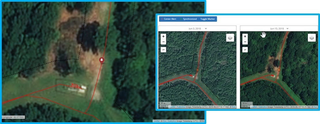
Landslides cause significant damage to pipelines every year. Loss of cover is often the primary driver of such events. Our midstream customers rely on forward-looking monitoring to identify areas where bare soil exists. With our Constant Vigilance™ suite of algorithms, we can detect and quantify areas down to the square foot where vegetation decline has occurred through either natural or human intervention.

Satelytics identifies areas where land slips have occurred.

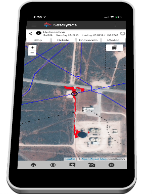
When the next set of imagery is gathered and analytics are completed, we can ensure that remediation activities are complete. All alerts can be classified according to risk, and notifications are sent in a matter of hours after imagery is obtained. Satelytics exists in three forms — browser, tablet, and phone — and all data is available to whichever management solution your company uses through a full suite of APIs. Satelytics for the non-connected world provides the full capability of our system in areas where connectivity is marginal or non-existent.
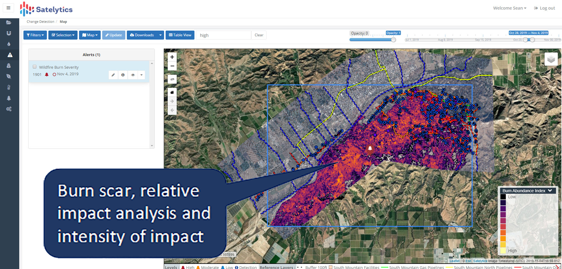
Satelytics’ scientists have also developed a tool for evaluating vegetation health and exposed soil (an intensity metric) specifically for areas that have been affected by wildfires. We call this tool “burn scar analysis.” It has helped oil & gas customers reduce risk by performing preventative vegetation maintenance and response planning.

Satelytics' burn scar analysis.
Satelytics’ oil & gas and midstream customers are taking an “all of the above” approach to reducing risk and consequence to their asset areas. By combining traditional manned inspection, IoT monitoring, and advanced geospatial analytics, forward-thinking companies are looking to the future to ensure continuance of operations.