• General

• General
Have you ever had a past incident rear its ugly head again? While our customers endeavor to maintain the environment in which they operate, accidents happen and many are out of their control. Even with proper remediation, environmental disasters and accidents can continue to cause problems and litigation can follow an unpredictable timeline. A geospatial monitoring program with Satelytics buys the most accurate data about the state of infrastructure areas, allowing for swift remediation and documentation of actions taken.
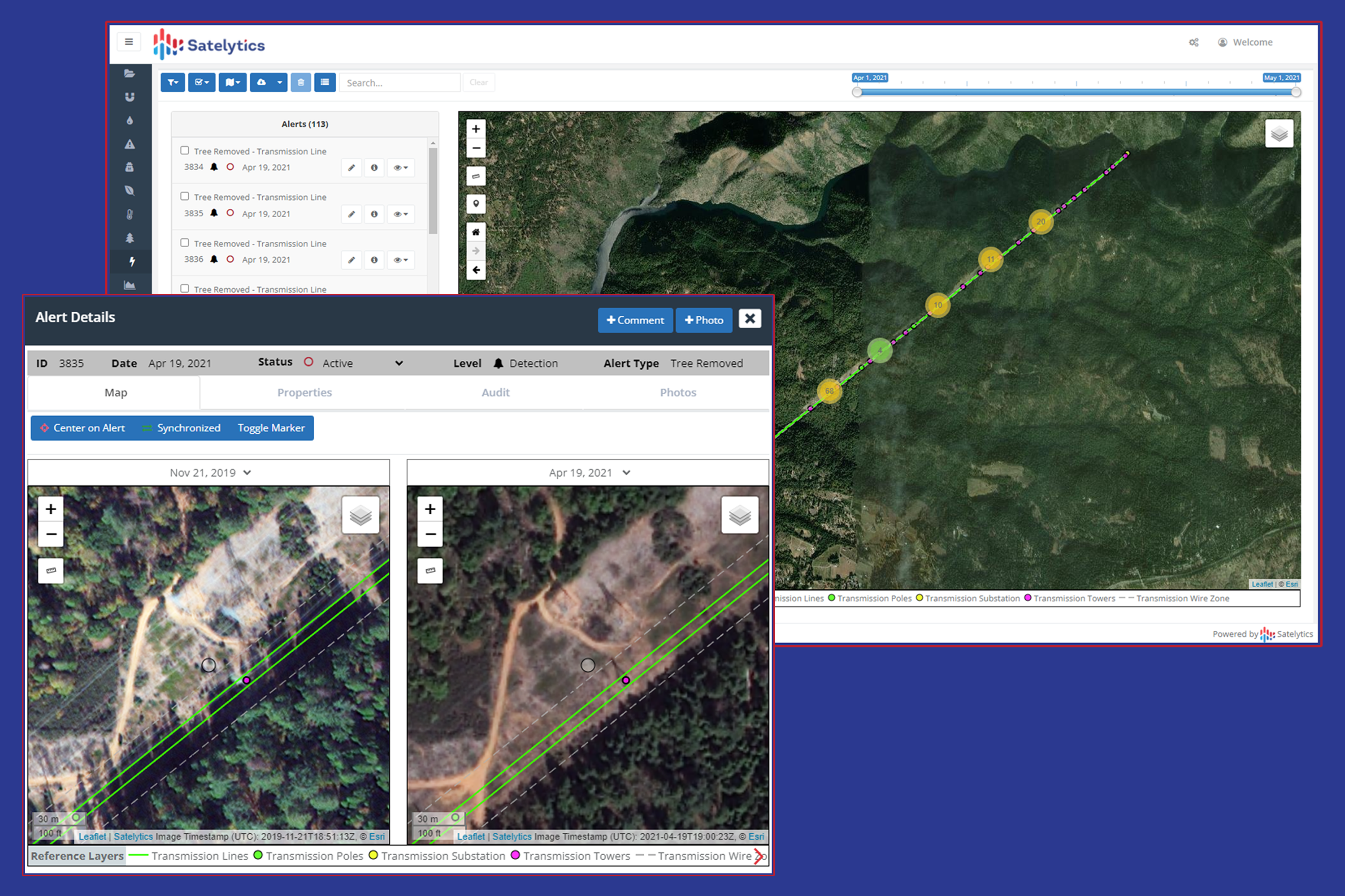
Having an accurate history of asset areas to review has proven invaluable for our customers. Looking back in time is useful for identifying liquid leaks and their extent, understanding cumulative gas emissions for an operating area over a given time frame, or proof of vegetation clearing along corridors and rights-of-way. In the case of vegetation, our customers also use their data records to understand growth rates, yielding more efficient and economical vegetation management planning.

Customers have proof of vegetation clearing along rights-of-way with Satelytics.
We also see a lot of interest in using geospatial data to prove sites were remediated according to regulations. This could mean proof of tree planting, vegetation regrowth, or slope stabilization over a given period. Providing proof of remediation is often tied to a financial bond — released only once an area is returned to its natural state or increasing consequences if it isn’t.
The above examples are just a slice of what is possible with regular data collection and a data archive. Reach out today to see how Satelytics addresses business challenges of the past, present, and future.