• General

• General
A geospatial analytics monitoring program with Satelytics can broadly be broken down into three steps. The first is imagery acquisition by commercial satellite vendors, which we handle on behalf of our customers. Step two is running our algorithms on the raw data in the cloud, producing alerts from analysis. Lastly, these alerts are presented in satelytics.io, our web platform, arming customers with the data needed to act on threats facing their infrastructure.
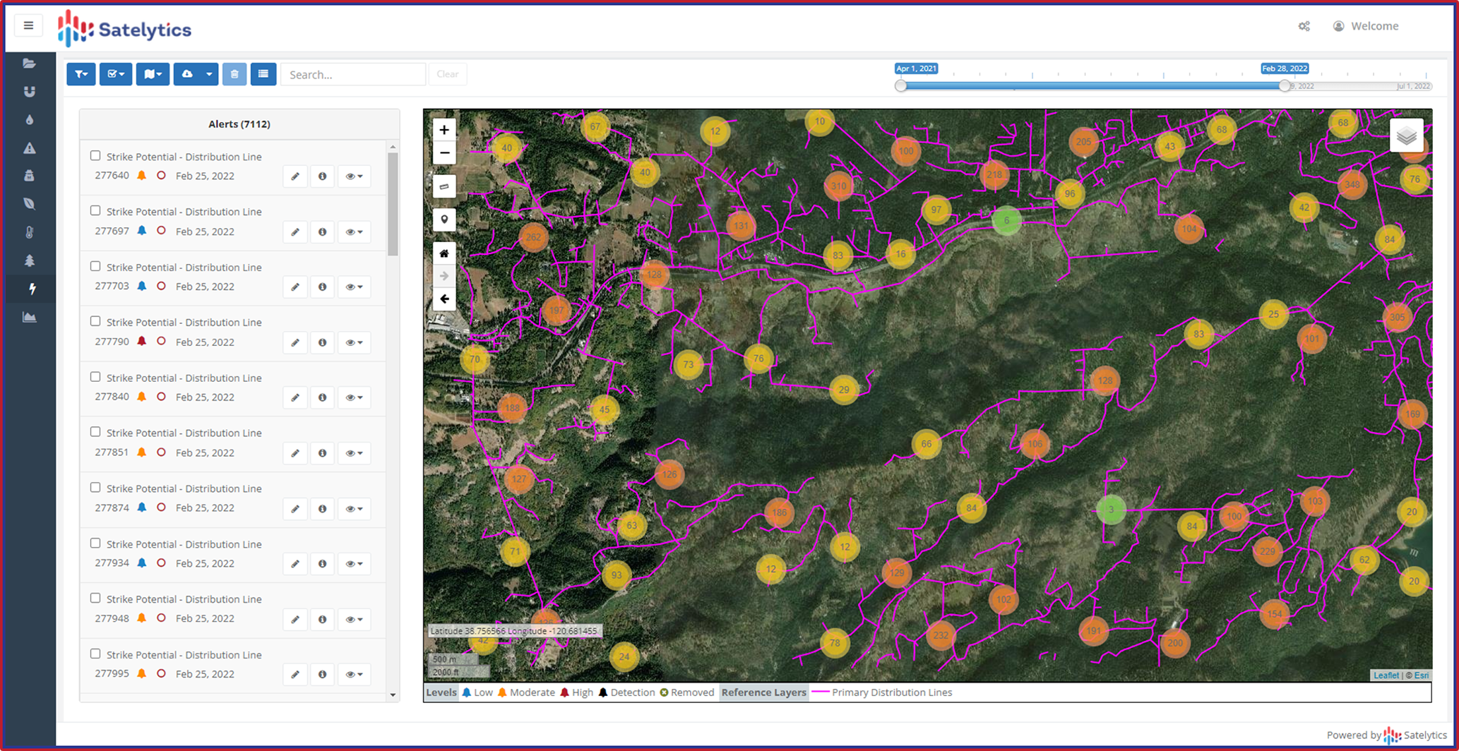
A top-down approach with satellite observation provides a wide lens through which changes can be viewed so nothing is missed. Combined with Satelytics’ analysis, a large amount of data can be obtained. Part of the learning curve customers experience in reaching maximum benefit from Satelytics is managing the volume of alerts generated.

Some projects can produce thousands of alerts per data collection.
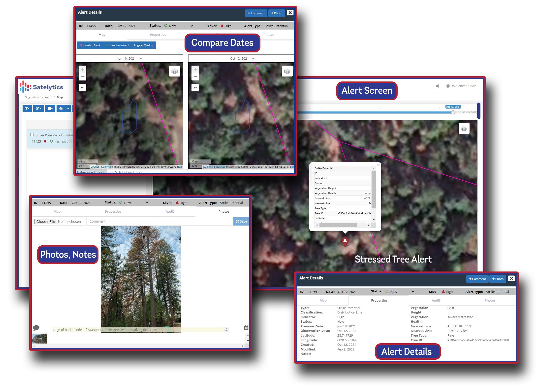
Satelytics.io was designed to be user-friendly so even large volumes of alerts can be sorted, catalogued, and closed out after they have been addressed. Every alert contains a unique ID number, time stamp, and location coordinates. In addition, alerts are graded based on severity — high, moderate, and low — customizable to meet the varying needs by region and industry. Severity thresholds are most often set by proximity to assets and buffer zones, quantification of the threat, the region it occurred in, and threat type. Quantification of alerts like methane flow rate and descriptive data such as vegetation speciation are what set Satelytics apart from competitors.

All alert data is organized for accessibility in satelytics.io, our cloud-hosted platform.
Customers can follow the alert chain from beginning to end with an audit trail of status updates for every alert. Photos and comments from the field can be uploaded for additional context to the audit trail as well, ensuring tidy workflows.
Satelytics doesn’t stop at providing alerts and data, but also provides the tools and expertise to navigate and best utilize that data. Learn more about how Satelytics’ customers are wielding more data and optimizing workflows by scheduling a demonstration today.